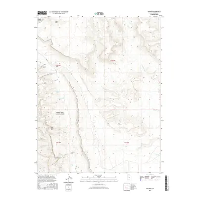
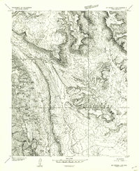
2017 Map of The Post
USGS Topo · Published 2017About this map
The Post serves as a remote focal point within this desert landscape, situated near the dramatic geological uplift of the Water Pocket Fold. This 2017 topographic record illustrates the intricate drainage systems and steep escarpments that characterize the region within Capitol Reef National Park. The transport network is defined by primitive routes like the Burr Trail and specialized tracks such as the Lower Muley Twist and Lower Muley Cutoff, which navigate the complex terrain. Water sources are vital landmarks in this arid environment, evidenced by named catchments including Willow Tanks, Cottonwood Tanks, and Muley Tanks. From the high elevations of Swap Mesa and Cave Point to the depths of Muley Twist Canyon, the map provides a precise look at the landforms and ephemeral creeks like Halls Cr that have shaped local navigation for generations.
Find a feature on this map
26 named features on this map. Tap any name to fly to it.
Don’t see what you’re looking for? This feature index may not catch every label — zoom into the map to look around manually.
Map Details
Editions of this 2017 The Post Map
This is the sole edition of this map. No revisions or reprints were ever made.
Other maps of this area
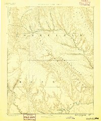
1886 · Escalante
USGS Topo · 1:250,000

1886 · Henry Mountains
USGS Topo · 1:250,000

1892 · Henry Mountains
USGS Topo · 1:250,000
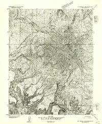
1952 · Mt Pennell 2 NE
USGS Topo · 1:24,000
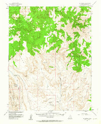
1953 · Mt Pennell
USGS Topo · 1:62,500
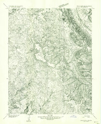
1953 · Circle Cliffs 1 SE
USGS Topo · 1:24,000
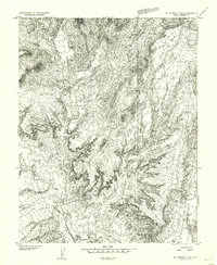
1953 · Mt Pennell 2 SE
USGS Topo · 1:24,000
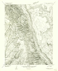
1953 · Mt Pennell 3 NW
USGS Topo · 1:24,000
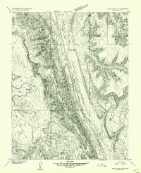
1953 · Circle Cliffs 1 NE
USGS Topo · 1:24,000
1953 · Mt Pennell 2 SW
USGS Topo · 1:24,000