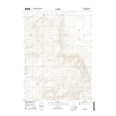
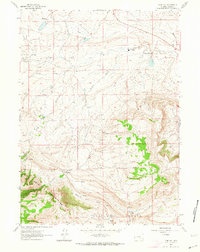
2015 Map of The Q Ranch
USGS Topo · Published 2015About this map
The Q Ranch serves as a central landmark in this high-altitude landscape of Carbon County, where the Shirley Mountains rise sharply above the Shirley Basin. The drainage patterns here are complex, with waters flowing into Quealy Cr and Troublesome Cr, while geological curiosities like The Sinks indicate where surface water disappears into the subterranean landscape.
Find a feature on this map
32 named features on this map. Tap any name to fly to it.
Don’t see what you’re looking for? This feature index may not catch every label — zoom into the map to look around manually.
Map Details
Editions of this 2015 The Q Ranch Map
This is the sole edition of this map. No revisions or reprints were ever made.
Other maps of this area
1953 · Fourmile Point
USGS Topo · 1:24,000
1953 · Fourmile Ridge
USGS Topo · 1:24,000
1953 · Schneider Ridge
USGS Topo · 1:24,000
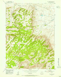
1953 · The Q Ranch
USGS Topo · 1:24,000
1953 · T E Ranch
USGS Topo · 1:24,000
1953 · Beaver Creek
USGS Topo · 1:24,000

1955 · Casper
USGS Topo · 1:250,000

1958 · Casper
USGS Topo · 1:250,000
1960 · Wild Irish Reservoir
USGS Topo · 1:24,000
1961 · Pine Hill
USGS Topo · 1:24,000