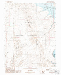
1987 Map of The Rincon NE
USGS Topo · Published 1987About this map
Waterpocket Fold dominates this 1980s landscape, illustrating a dramatic geologic uplift within the Glen Canyon National Recreation Area. The terrain is defined by extreme elevation changes and deep drainage systems, including Bowns Canyon and Long Canyon. To the northeast, the rising waters of Lake Powell fill Halls Creek Bay, marking the significant hydrological changes that reshaped this portion of the Colorado River basin during the late twentieth century.
Find a feature on this map
12 named features on this map. Tap any name to fly to it.
Don’t see what you’re looking for? This feature index may not catch every label — zoom into the map to look around manually.
Map Details
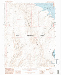
Editions of this 1987 The Rincon NE Map
2 editions found
Other maps of this area

1886 · Henry Mountains
USGS Topo · 1:250,000

1892 · Henry Mountains
USGS Topo · 1:250,000

1953 · Mt Pennell 3 SW
USGS Topo · 1:24,000

1953 · The Rincon
USGS Topo · 1:62,500

1953 · Lake Canyon
USGS Topo · 1:62,500

1953 · Mt. Ellsworth
USGS Topo · 1:62,500

1953 · Hall Mesa
USGS Topo · 1:62,500

1956 · Escalante
USGS Topo · 1:250,000

1960 · Escalante
USGS Topo · 1:250,000
1980 · Hite Crossing
USGS Topo · 1:100,000