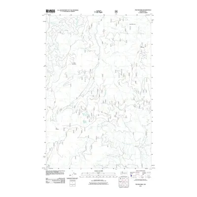
2011 Map of The Rockies
USGS Topo · Published 2011About this map
The Rockies define the high terrain of this portion of Lewis County, where the headwaters of several major drainage systems diverge. The landscape is a complex network of ridges and deep valleys carved by the Little Nisqually River, the West Fork Tilton River, and the Little Deschutes River. The interior is accessed by a series of forestry roads, including Nat For Dev Rd 74 and Forest Rd 70, which navigate the steep slopes toward high points like Stahl Mountain and Ladd Mountain. Historically significant for its resource management and fire surveillance, the area includes the Ladd Lookout situated near the center of the quadrangle. Smaller water features such as Goose Lake and Duck Lake are nestled between the ridges, while numerous named tributaries like Hiawatha Creek and Winston Creek illustrate the dense hydrological network of this timbered upland region.
Find a feature on this map
29 named features on this map. Tap any name to fly to it.
Don’t see what you’re looking for? This feature index may not catch every label — zoom into the map to look around manually.
Map Details
Editions of this 2011 The Rockies Map
This is the sole edition of this map. No revisions or reprints were ever made.
Other maps of this area
1937 · Eatonville
USGS Topo · 1:125,000
1941 · Tanwax Lake
USGS Topo · 1:62,500
1944 · Ohop Valley
USGS Topo · 1:62,500
1949 · Ohop Valley
USGS Topo · 1:62,500

1953 · Hoquiam
USGS Topo · 1:250,000
1956 · Mineral
USGS Topo · 1:62,500
1956 · Kapowsin
USGS Topo · 1:62,500
1957 · Hoquiam
USGS Topo · 1:250,000
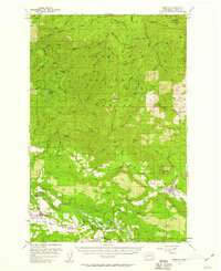
1957 · Morton
USGS Topo · 1:62,500
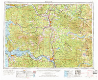
1958 · Hoquiam
USGS Topo · 1:250,000