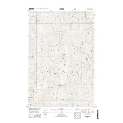
2014 Map of The Rockies
USGS Topo · Published 2014About this map
Snoqualmie National Forest dominates this section of Lewis County, where the high ridges of the Cascades create a complex drainage system. The terrain is defined by prominent peaks including Stahl Mtn, Ladd Mtn, and the distinctive formation known as The Rockies. These elevations separate several significant watersheds, with the headwaters of the Deschutes River and Little Deschutes River flowing northwest while the W Fork Tilton River and Soap Cr drain the southern slopes. High-altitude water bodies like Goose Lake and Duck Lake are tucked between the ridges near Ladd Lookout. A dense network of forest service roads, such as Nat For Dev Rd 74 and Forest Rd 7307, provides the primary access through this timber-rich landscape, reflecting the modern management of these public lands.
Find a feature on this map
41 named features on this map. Tap any name to fly to it.
Don’t see what you’re looking for? This feature index may not catch every label — zoom into the map to look around manually.
Map Details
Editions of this 2014 The Rockies Map
This is the sole edition of this map. No revisions or reprints were ever made.
Other maps of this area
1937 · Eatonville
USGS Topo · 1:125,000
1941 · Tanwax Lake
USGS Topo · 1:62,500
1944 · Ohop Valley
USGS Topo · 1:62,500
1949 · Ohop Valley
USGS Topo · 1:62,500

1953 · Hoquiam
USGS Topo · 1:250,000
1956 · Mineral
USGS Topo · 1:62,500
1956 · Kapowsin
USGS Topo · 1:62,500
1957 · Hoquiam
USGS Topo · 1:250,000
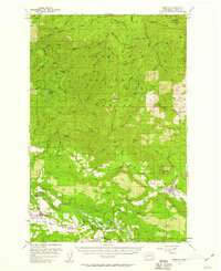
1957 · Morton
USGS Topo · 1:62,500
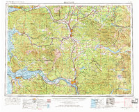
1958 · Hoquiam
USGS Topo · 1:250,000