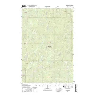
2017 Map of The Rockies
USGS Topo · Published 2017About this map
Snoqualmie National Forest dominates this section of Lewis County, where a complex network of forest development roads provides access to the high ridgelines and timbered basins. The terrain is defined by prominent peaks including Stahl Mtn, Ladd Mtn, and Cougar Mtn, while the southern portion of the quadrangle is anchored by the geological formation known as The Rockies. This area serves as a significant drainage divide for several major water systems, including the Deschutes River and the Little Nisqually River, which carve through the landscape alongside smaller tributaries like Rockies Cr and Scatter Cr. The presence of small high-country bodies of water such as Goose Lake and Duck Lake suggests the glacially influenced topography characteristic of this part of the Cascades. The extensive road system, including Nat For Dev Rd 71 and Nat For Dev Rd 74, reflects the ongoing management and resource extraction history within the national forest boundaries.
Find a feature on this map
48 named features on this map. Tap any name to fly to it.
Don’t see what you’re looking for? This feature index may not catch every label — zoom into the map to look around manually.
Map Details
Editions of this 2017 The Rockies Map
This is the sole edition of this map. No revisions or reprints were ever made.
Other maps of this area
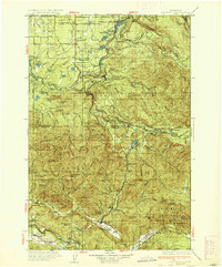
1937 · Eatonville
USGS Topo · 1:125,000
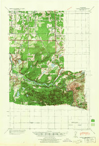
1941 · Tanwax Lake
USGS Topo · 1:62,500
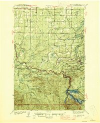
1944 · Ohop Valley
USGS Topo · 1:62,500
1949 · Ohop Valley
USGS Topo · 1:62,500

1953 · Hoquiam
USGS Topo · 1:250,000
1956 · Mineral
USGS Topo · 1:62,500
1956 · Kapowsin
USGS Topo · 1:62,500
1957 · Hoquiam
USGS Topo · 1:250,000
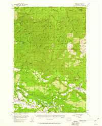
1957 · Morton
USGS Topo · 1:62,500
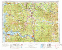
1958 · Hoquiam
USGS Topo · 1:250,000