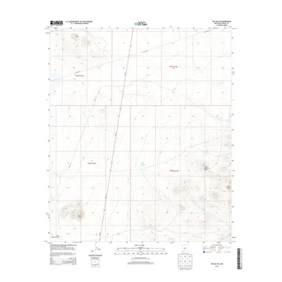
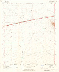
2013 Map of The Saltys
USGS Topo · Published 2013About this map
The Saltys characterizes this portion of Grant County, where the desert landscape is defined by drainage patterns and livestock infrastructure. The southern reach of the Cedar Mountain Range rises in the southeast, culminating at Turkey Knob and overlooking Baker Tank. This area is a network of water management features essential for ranching in the arid Southwest, including Murray Tank, Midway Tank, and Dirt Tank. Transportation and utility corridors cut through the terrain via Nm-146 and the utilitarian Pipeline Rd. To the southwest, Black Mtn stands as a prominent landmark near the head of Black Mountain Draw, illustrating the isolated volcanic peaks and ephemeral watercourses typical of the New Mexico borderlands.
Find a feature on this map
16 named features on this map. Tap any name to fly to it.
Don’t see what you’re looking for? This feature index may not catch every label — zoom into the map to look around manually.
Map Details
Editions of this 2013 The Saltys Map
This is the sole edition of this map. No revisions or reprints were ever made.
Other maps of this area
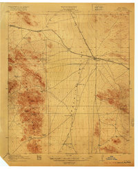
1918 · Hachita
USGS Topo · 1:62,500
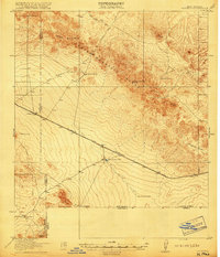
1918 · Victorio
USGS Topo · 1:62,500

1954 · Silver City
USGS Topo · 1:250,000
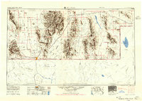
1955 · Douglas
USGS Topo · 1:250,000

1958 · Silver City
USGS Topo · 1:250,000
1959 · Douglas
USGS Topo · 1:250,000
1961 · Douglas
USGS Topo · 1:250,000
1962 · Silver City
USGS Topo · 1:250,000
1963 · Gage SW
USGS Topo · 1:24,000
1963 · Gage NW
USGS Topo · 1:24,000