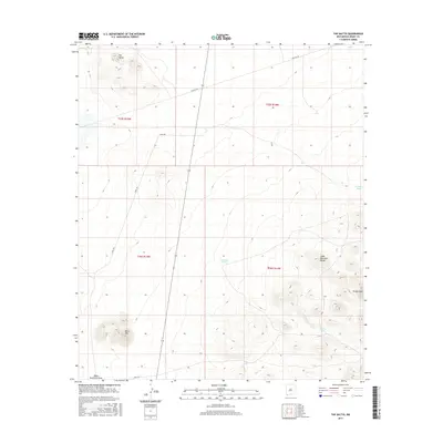
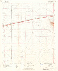
2017 Map of The Saltys
USGS Topo · Published 2017About this map
The Saltys rises as a prominent landmark in this section of Grant County, anchoring a landscape shaped by intermittent water sources and the high elevations of the Cedar Mountain Range. In this arid expanse, the distribution of water is recorded through several artificial reservoirs, including Midway Tank, Baker Tank, and Murray Tank, which provided essential support for ranching operations in the early 21st century. The terrain is marked by distinct peaks such as Black Mtn and the neighboring Turkey Knob, with drainage moving through Black Mountain Draw. Long-distance infrastructure is evident in the path of Pipeline Rd, while local access is maintained via S Well Rd, reflecting the sparse but functional network of a high-desert environment focused on resource management and livestock.
Find a feature on this map
15 named features on this map. Tap any name to fly to it.
Don’t see what you’re looking for? This feature index may not catch every label — zoom into the map to look around manually.
Map Details
Editions of this 2017 The Saltys Map
This is the sole edition of this map. No revisions or reprints were ever made.
Other maps of this area
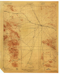
1918 · Hachita
USGS Topo · 1:62,500
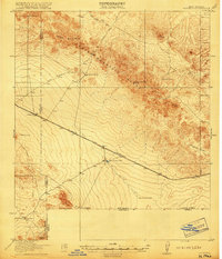
1918 · Victorio
USGS Topo · 1:62,500

1954 · Silver City
USGS Topo · 1:250,000
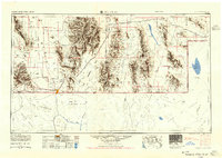
1955 · Douglas
USGS Topo · 1:250,000

1958 · Silver City
USGS Topo · 1:250,000
1959 · Douglas
USGS Topo · 1:250,000
1961 · Douglas
USGS Topo · 1:250,000
1962 · Silver City
USGS Topo · 1:250,000
1963 · Gage SW
USGS Topo · 1:24,000
1963 · Gage NW
USGS Topo · 1:24,000