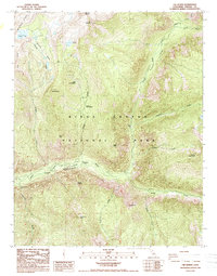
1988 Map of The Sphinx
USGS Topo · Published 1988About this map
Kings Canyon dominates this 1988 survey, revealing the deep glacial carvings and dramatic granite spires of the High Sierra. The confluence of the South Fork Kings River and Bubbs Creek serves as a topographical anchor for the region, where the canyon floor transitions into towering landmarks like the Grand Sentinel and the namesake The Sphinx. This edition provides a record of the landscape as it appeared in the late 1970s and 1980s, documenting the trail networks and footbridges that connected remote high-altitude meadows.
Find a feature on this map
34 named features on this map. Tap any name to fly to it.
Don’t see what you’re looking for? This feature index may not catch every label — zoom into the map to look around manually.
Map Details
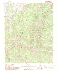
Editions of this 1988 The Sphinx Map
2 editions found
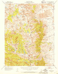
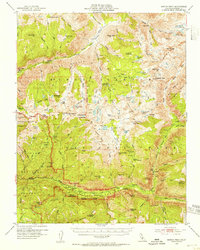
Other maps of this area

1903 · Tehipite
USGS Topo · 1:125,000

1905 · Tehipite
USGS Topo · 1:125,000

1907 · Mt. Whitney
USGS Topo · 1:125,000

1919 · Mt. Whitney
USGS Topo · 1:125,000

1937 · Mt. Whitney
USGS Topo · 1:125,000

1948 · Fresno
USGS Topo · 1:250,000
1953 · Mt. Pinchot
USGS Topo · 1:62,500
1953 · Marion Peak
USGS Topo · 1:62,500

1955 · Fresno
USGS Topo · 1:250,000

1956 · Fresno
USGS Topo · 1:250,000