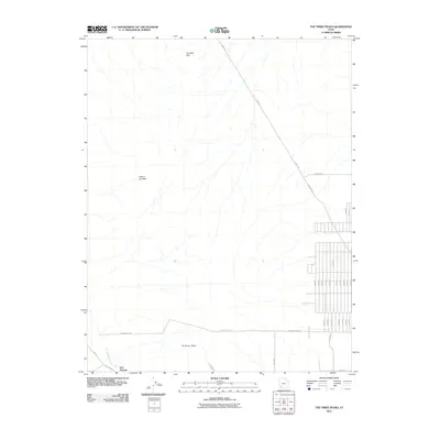
2011 Map of The Three Peaks
USGS Topo · Published 2011About this map
Iron Springs anchors the southwest corner of this 2011 survey in Iron County, where the desert landscape begins to give way to organized rural development. This area is defined by significant topographical landmarks such as The Three Peaks and The Bald Hills, which break the drainage patterns of Iron Springs Creek. The northeastern and southeastern portions of the map reveal a transition from open terrain to a dense grid of residential roads, including several numbered routes like N 4300 W and N 4000 W. Transportation corridors like the Lund Hwy and Iron Springs Rd cut across the landscape, connecting the clustered settlement at Iron Springs with the expanding subdivisions to the east. A notable natural feature, Hole in the Wall, lies tucked within the western reaches of the quadrangle, illustrating the complex geography of this high-desert region.
Find a feature on this map
30 named features on this map. Tap any name to fly to it.
Don’t see what you’re looking for? This feature index may not catch every label — zoom into the map to look around manually.
Map Details
Editions of this 2011 The Three Peaks Map
This is the sole edition of this map. No revisions or reprints were ever made.
Other maps of this area
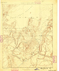
1885 · St. George
USGS Topo · 1:250,000
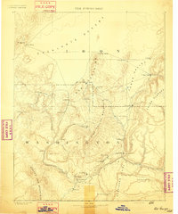
1891 · St. George
USGS Topo · 1:250,000
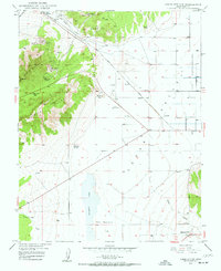
1949 · Cedar City NW
USGS Topo · 1:24,000
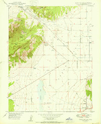
1950 · Cedar City NW
USGS Topo · 1:24,000
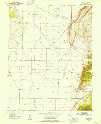
1950 · Enoch
USGS Topo · 1:24,000
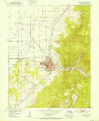
1950 · Cedar City
USGS Topo · 1:24,000
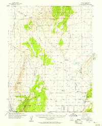
1950 · Enoch
USGS Topo · 1:62,500
1950 · Iron Mountain
USGS Topo · 1:62,500
1950 · Cedar City
USGS Topo · 1:62,500
1950 · The Three Peaks
USGS Topo · 1:24,000