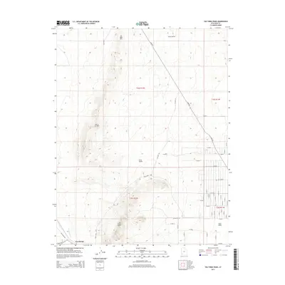
2014 Map of The Three Peaks
USGS Topo · Published 2014About this map
The Three Peaks rise sharply above the high desert floor in Iron County, forming a prominent geological landmark that anchors the surrounding landscape. To the north, the terrain transitions into the rolling elevations of The Bald Hills and the winding passage of Horse Hollow. This region is defined by its open spaces and the transition from the rugged outcrops of Hole in the Wall to the broad expanse of Cedar Valley in the southeast. The settlement of Iron Springs sits near the drainage of Iron Springs Cr, marking a point of historical and industrial interest in a territory largely defined by its topography and the grid of rural roads like Lund Hwy and Williams Rd. The presence of the Three Peaks Loop indicates the area's development for recreation and accessibility amidst these ancient rock formations.
Find a feature on this map
30 named features on this map. Tap any name to fly to it.
Don’t see what you’re looking for? This feature index may not catch every label — zoom into the map to look around manually.
Map Details
Editions of this 2014 The Three Peaks Map
This is the sole edition of this map. No revisions or reprints were ever made.
Other maps of this area
1885 · St. George
USGS Topo · 1:250,000
1891 · St. George
USGS Topo · 1:250,000
1949 · Cedar City NW
USGS Topo · 1:24,000
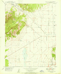
1950 · Cedar City NW
USGS Topo · 1:24,000
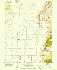
1950 · Enoch
USGS Topo · 1:24,000
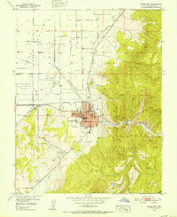
1950 · Cedar City
USGS Topo · 1:24,000
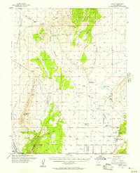
1950 · Enoch
USGS Topo · 1:62,500
1950 · Iron Mountain
USGS Topo · 1:62,500
1950 · Cedar City
USGS Topo · 1:62,500
1950 · The Three Peaks
USGS Topo · 1:24,000