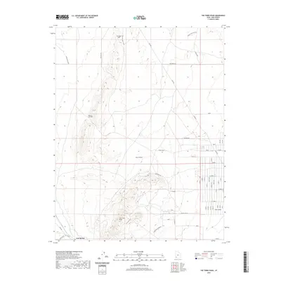
2020 Map of The Three Peaks
USGS Topo · Published 2020About this map
The Three Peaks rise sharply from the desert floor in this western region of Iron County, Utah, overlooking the arid expanse of Cedar Valley. The landscape is defined by its industrial and ranching history, evidenced by The Mines situated on the northern slopes of the peaks and the presence of Shearing Pen further north. Iron Springs sits near the banks of Iron Springs Cr, marking a vital water source in this high-desert environment. The topographical diversity of the area is highlighted by landmarks such as The Bald Hills and the geological curiosity of Hole in the Wall. Transportation routes like the Lund Hwy and Bald Hills W connect these remote outposts, while Horse Hollow provides a natural basin between the rugged elevations.
Find a feature on this map
57 named features on this map. Tap any name to fly to it.
Don’t see what you’re looking for? This feature index may not catch every label — zoom into the map to look around manually.
Map Details
Editions of this 2020 The Three Peaks Map
This is the sole edition of this map. No revisions or reprints were ever made.
Other maps of this area

1885 · St. George
USGS Topo · 1:250,000

1891 · St. George
USGS Topo · 1:250,000

1949 · Cedar City NW
USGS Topo · 1:24,000

1950 · Cedar City NW
USGS Topo · 1:24,000

1950 · Enoch
USGS Topo · 1:24,000

1950 · Cedar City
USGS Topo · 1:24,000

1950 · Enoch
USGS Topo · 1:62,500

1950 · Iron Mountain
USGS Topo · 1:62,500

1950 · Cedar City
USGS Topo · 1:62,500

1950 · The Three Peaks
USGS Topo · 1:24,000