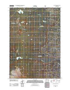
2011 Map of The Twins
USGS Topo · Published 2011About this map
Charlton Lake Shelter stands as a focal point for hikers and backcountry travelers in this high-altitude landscape of the Oregon Cascades. The terrain is defined by a dense network of glacial basins and volcanic peaks, including the prominent double summits of The Twins and the massive profile of Maiden Peak to the south. Water is the primary geographic driver here, with high-mountain catchments like Charlton Lake, Gerdine Lake, and Bobby Lake feeding drainage systems such as Charlton Creek and Moore Creek. The map documents a classic Pacific Northwest wilderness character, where open spaces like Long Meadow break up the forested volcanic slopes. The intricate forest road system on the eastern edge reveals the modern management and accessibility of this backcountry area, providing clear documentation of trail access points and seasonal water sources for recreation and conservation study.
Find a feature on this map
14 named features on this map. Tap any name to fly to it.
Don’t see what you’re looking for? This feature index may not catch every label — zoom into the map to look around manually.
Map Details
Editions of this 2011 The Twins Map
This is the sole edition of this map. No revisions or reprints were ever made.
Other maps of this area
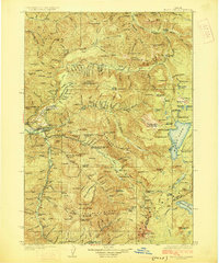
1925 · Waldo Lake
USGS Topo · 1:125,000
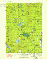
1930 · Maiden Peak
USGS Topo · 1:125,000
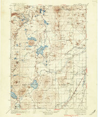
1934 · Maiden Peak
USGS Topo · 1:125,000
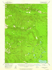
1955 · Chucksney Mtn
USGS Topo · 1:62,500

1955 · Crescent
USGS Topo · 1:250,000
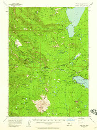
1956 · Waldo Lake
USGS Topo · 1:62,500

1957 · Crescent
USGS Topo · 1:250,000

1958 · Crescent
USGS Topo · 1:250,000

1958 · Roseburg
USGS Topo · 1:250,000

1959 · Roseburg
USGS Topo · 1:250,000