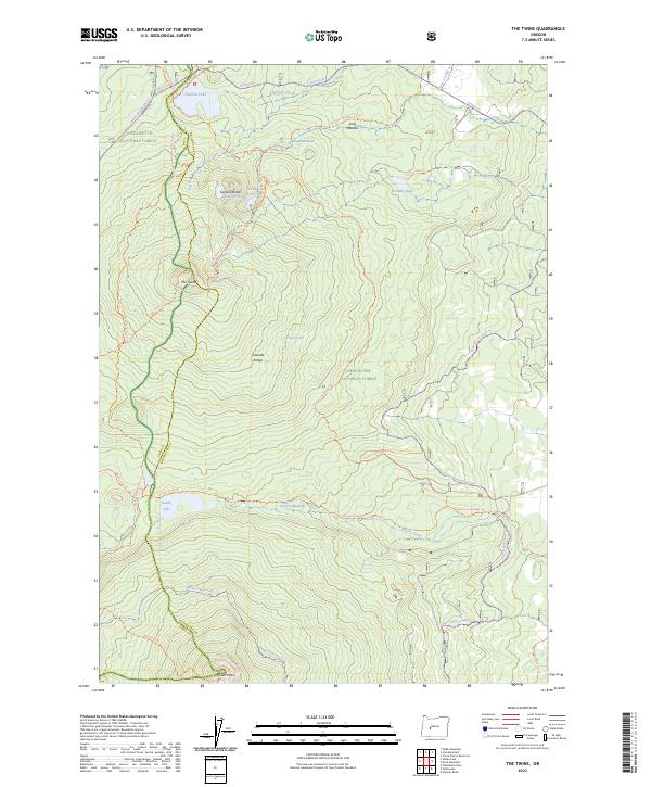
2023 Map of The Twins
USGS Topo · Published 2023About this map
Willamette National Forest and Deschutes National Forest converge along the crest of the Cascade Range, creating a high-altitude landscape defined by volcanic peaks and glacial lakes. This survey documents the modern trail network that traverses the divide, most notably the Pacific Crest National Scenic Trl and the Metolius-Windigo Trl. Significant summits like The Twins, Gerdine Butte, and Maiden Peak provide dramatic relief above a series of subalpine meadows, including Long Meadow, Round Meadow, and Poverty Meadows. Water features are clustered throughout the basin, with Charlton Lake and Charlton Creek in the north, while smaller basins like Found Lake, Hidden Lake, and Grouse Lake sit tucked beneath the ridges. The map illustrates the complex boundary between Lane and Deschutes counties as it follows the natural topography of the mountain spine.
Find a feature on this map
36 named features on this map. Tap any name to fly to it.
Don’t see what you’re looking for? This feature index may not catch every label — zoom into the map to look around manually.
Map Details
Editions of this 2023 The Twins Map
This is the sole edition of this map. No revisions or reprints were ever made.
Other maps of this area

1925 · Waldo Lake
USGS Topo · 1:125,000

1930 · Maiden Peak
USGS Topo · 1:125,000

1934 · Maiden Peak
USGS Topo · 1:125,000

1955 · Chucksney Mtn
USGS Topo · 1:62,500

1955 · Crescent
USGS Topo · 1:250,000

1956 · Waldo Lake
USGS Topo · 1:62,500

1957 · Crescent
USGS Topo · 1:250,000

1958 · Crescent
USGS Topo · 1:250,000

1958 · Roseburg
USGS Topo · 1:250,000

1959 · Roseburg
USGS Topo · 1:250,000