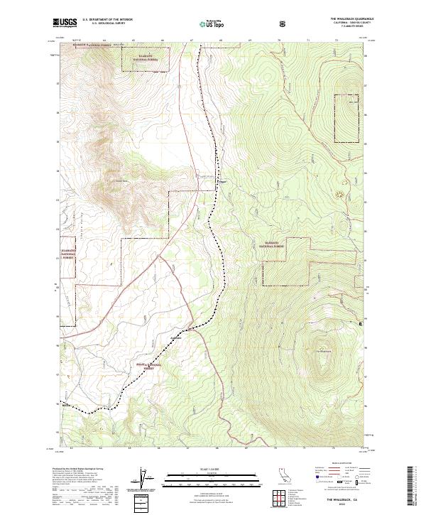
2022 Map of The Whaleback
USGS Topo · Published 2022About this map
The Whaleback dominates the southeastern quadrant of this Siskiyou County landscape, rising sharply above the surrounding forest lands. This modern survey illustrates the transition from the high-elevation volcanic peaks of the Shasta National Forest to the lower reaches of the Shasta Valley in the west. Small settlements and sidings like Andesite and Bolam appear along the transportation corridors, reflecting the region's long-standing connection to the railroad and timber industries. Further north, the settlement of Cougar sits near the border of the Klamath National Forest. The map detail includes a complex network of recreational and access routes, such as the Whaleback Trl and the Deer Mtn Long Loop Trl, which navigate the steep topography between Miller Mtn and Deer Mtn. Residential development is concentrated along the western edge, marked by local roads like Pleasant Rd and Sunrise Ln.
Find a feature on this map
30 named features on this map. Tap any name to fly to it.
Don’t see what you’re looking for? This feature index may not catch every label — zoom into the map to look around manually.
Map Details
Editions of this 2022 The Whaleback Map
This is the sole edition of this map. No revisions or reprints were ever made.
Other maps of this area

1886 · Shasta
USGS Topo · 1:250,000

1894 · Shasta
USGS Topo · 1:250,000

1922 · Shasta Valley Sheet No 10 E
USGS Topo · 1:24,000

1934 · Macdoel
USGS Topo · 1:96,000

1935 · Dunsmuir
USGS Topo · 1:125,000

1941 · Macdoel
USGS Topo · 1:125,000

1948 · Weed
USGS Topo · 1:250,000

1950 · Weed
USGS Topo · 1:250,000

1954 · The Whaleback
USGS Topo · 1:62,500

1954 · Shasta
USGS Topo · 1:62,500