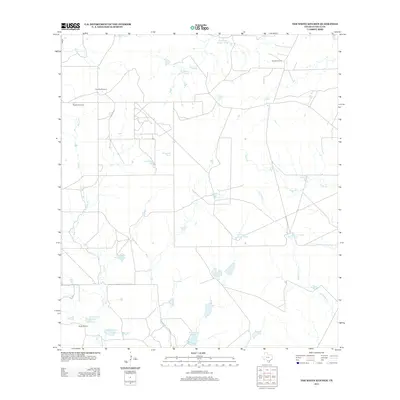
2012 Map of The White Kitchen
USGS Topo · Published 2012About this map
The White Kitchen sits at the heart of this ranching landscape in La Salle County, where a complex network of water management features sustains the arid South Texas terrain. The 2012 survey by the U.S. Geological Survey reveals an environment defined by ephemeral drainage systems like Sauz Cr and Quintania Cr, punctuated by dozens of man-made water catchments such as Tablas Tank, Grindstone Tank, and Fourteen Section Tank. These tanks, along with the Manley Windmill, indicate the vital infrastructure required for livestock operations across the sprawling Baylor Ranch and near Quintana Camp.
Find a feature on this map
26 named features on this map. Tap any name to fly to it.
Don’t see what you’re looking for? This feature index may not catch every label — zoom into the map to look around manually.
Map Details
Editions of this 2012 The White Kitchen Map
This is the sole edition of this map. No revisions or reprints were ever made.
Other maps of this area
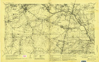
1929 · Cotulla
USGS Topo · 1:125,000
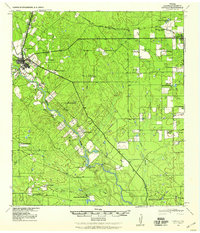
1940 · Cotulla
USGS Topo · 1:62,500
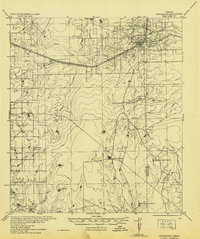
1942 · Fowlerton
USGS Topo · 1:62,500

1953 · Crystal City
USGS Topo · 1:250,000

1955 · Crystal City
USGS Topo · 1:250,000
1956 · Piedra Creek
USGS Topo · 1:62,500
1956 · Fowlerton
USGS Topo · 1:62,500
1957 · Caiman Creek
USGS Topo · 1:62,500
1961 · Crystal City
USGS Topo · 1:250,000
1968 · Crystal City
USGS Topo · 1:250,000