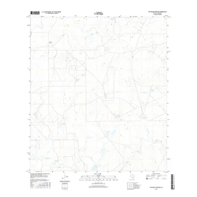
2016 Map of The White Kitchen
USGS Topo · Published 2016About this map
The White Kitchen sits as a lonely marker in this arid expanse of southern La Salle County, representing a landscape defined by ranching infrastructure and intermittent watercourses. The territory is a network of named stock tanks and ephemeral creeks, where life and economy revolve around reliable water access. Strategic water features like Fourteen Section Tank, Schreiver Tank, and Jug Tank punctuate the brush country, while larger catchments such as Walker Lake Number 1, Walker Lake Number 2, and Walker Lake Number 3 cluster to the south.
Find a feature on this map
24 named features on this map. Tap any name to fly to it.
Don’t see what you’re looking for? This feature index may not catch every label — zoom into the map to look around manually.
Map Details
Editions of this 2016 The White Kitchen Map
This is the sole edition of this map. No revisions or reprints were ever made.
Other maps of this area
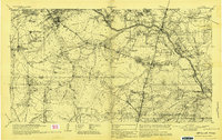
1929 · Cotulla
USGS Topo · 1:125,000
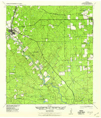
1940 · Cotulla
USGS Topo · 1:62,500
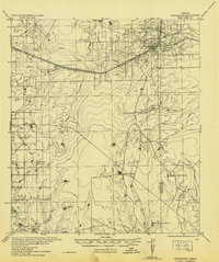
1942 · Fowlerton
USGS Topo · 1:62,500

1953 · Crystal City
USGS Topo · 1:250,000

1955 · Crystal City
USGS Topo · 1:250,000
1956 · Piedra Creek
USGS Topo · 1:62,500
1956 · Fowlerton
USGS Topo · 1:62,500
1957 · Caiman Creek
USGS Topo · 1:62,500
1961 · Crystal City
USGS Topo · 1:250,000
1968 · Crystal City
USGS Topo · 1:250,000