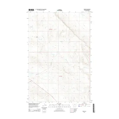
2014 Map of Thebes
USGS Topo · Published 2014About this map
Thebes sits near the southwestern corner of this Rosebud County landscape, marking a small point of habitation along Us-12 and Thebes Rd. The topography is defined by the drainage systems of Big Porcupine Cr and several branches of W Blacktail Cr, which carve through the high plains terrain. Significant landforms include Blind Coulee in the northwest and Sun Coulee to the southeast, illustrating the erosional patterns of the Montana prairie. The presence of Thebes Lake provides a localized water feature in an otherwise dry, dissected upland. This 2014 survey records the rural infrastructure of the region, emphasizing the sparse road network like W Blacktail Rd that services the vast ranching sections of t10n r36e and t9n r36e.
Find a feature on this map
11 named features on this map. Tap any name to fly to it.
Don’t see what you’re looking for? This feature index may not catch every label — zoom into the map to look around manually.
Map Details
Editions of this 2014 Thebes Map
This is the sole edition of this map. No revisions or reprints were ever made.
Other maps of this area

1954 · Forsyth
USGS Topo · 1:250,000

1957 · Forsyth
USGS Topo · 1:250,000

1958 · Forsyth
USGS Topo · 1:250,000

1960 · Steie Ranch
USGS Topo · 1:24,000

1960 · Hagen Ranch
USGS Topo · 1:24,000

1960 · Vananda
USGS Topo · 1:24,000

1960 · Ahles
USGS Topo · 1:24,000

1960 · Thebes
USGS Topo · 1:24,000

1960 · Ingomar East
USGS Topo · 1:24,000

1960 · Brown Coulee
USGS Topo · 1:24,000