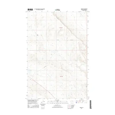
2017 Map of Thebes
USGS Topo · Published 2017About this map
Thebes and Sun Coulee anchor this high-plains landscape in Rosebud County, where the topography is defined by the complex drainage systems of the Missouri River watershed. The geography is characterized by the winding paths of Big Porcupine Cr and W Blacktail Cr, which carve through the dry terrain alongside features like Blind Coulee. These watercourses provided the essential structure for early cattle ranching and homesteading in this part of Montana.
Find a feature on this map
11 named features on this map. Tap any name to fly to it.
Don’t see what you’re looking for? This feature index may not catch every label — zoom into the map to look around manually.
Map Details
Editions of this 2017 Thebes Map
This is the sole edition of this map. No revisions or reprints were ever made.
Other maps of this area

1954 · Forsyth
USGS Topo · 1:250,000

1957 · Forsyth
USGS Topo · 1:250,000

1958 · Forsyth
USGS Topo · 1:250,000

1960 · Steie Ranch
USGS Topo · 1:24,000

1960 · Hagen Ranch
USGS Topo · 1:24,000

1960 · Vananda
USGS Topo · 1:24,000

1960 · Ahles
USGS Topo · 1:24,000

1960 · Thebes
USGS Topo · 1:24,000

1960 · Ingomar East
USGS Topo · 1:24,000

1960 · Brown Coulee
USGS Topo · 1:24,000