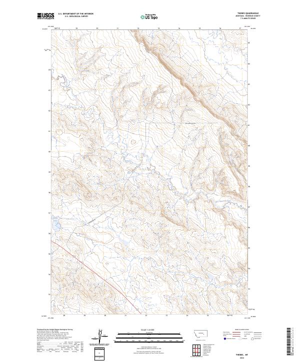
2024 Map of Thebes
USGS Topo · Published 2024About this map
Thebes Lake sits at the heart of this rangeland landscape in Rosebud County, where the terrain is defined by the ephemeral drainage of West Blacktail Creek. The map documents a sparsely settled portion of eastern Montana, where the primary infrastructure consists of long-distance routes like Cohagen Rd and Big Porcupine Rd that follow the natural contours of the coulees and ridges. The presence of Petroleum Rd suggests the historical importance of resource extraction and maintenance access in this isolated territory. This contemporary survey by the U.S. Geological Survey provides a clear view of the Public Land Survey System grid, including townships t10n r36e, t10n r37e, and t9n r36e, which continue to organize the ranching and energy-producing lands of the High Plains.
Find a feature on this map
8 named features on this map. Tap any name to fly to it.
Don’t see what you’re looking for? This feature index may not catch every label — zoom into the map to look around manually.
Map Details
Editions of this 2024 Thebes Map
This is the sole edition of this map. No revisions or reprints were ever made.
Other maps of this area

1954 · Forsyth
USGS Topo · 1:250,000

1957 · Forsyth
USGS Topo · 1:250,000

1958 · Forsyth
USGS Topo · 1:250,000

1960 · Steie Ranch
USGS Topo · 1:24,000

1960 · Hagen Ranch
USGS Topo · 1:24,000

1960 · Vananda
USGS Topo · 1:24,000

1960 · Ahles
USGS Topo · 1:24,000

1960 · Thebes
USGS Topo · 1:24,000

1960 · Ingomar East
USGS Topo · 1:24,000

1960 · Brown Coulee
USGS Topo · 1:24,000