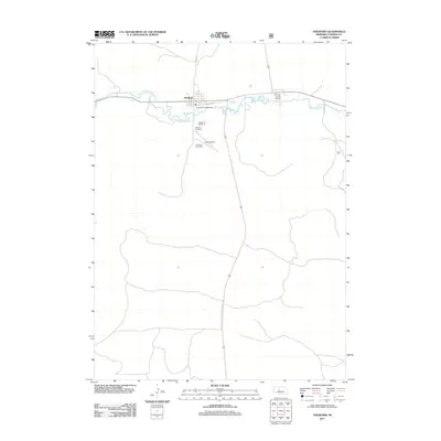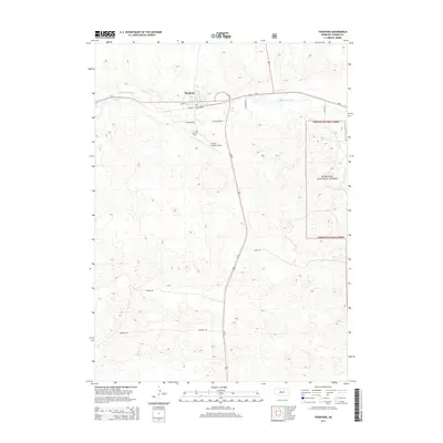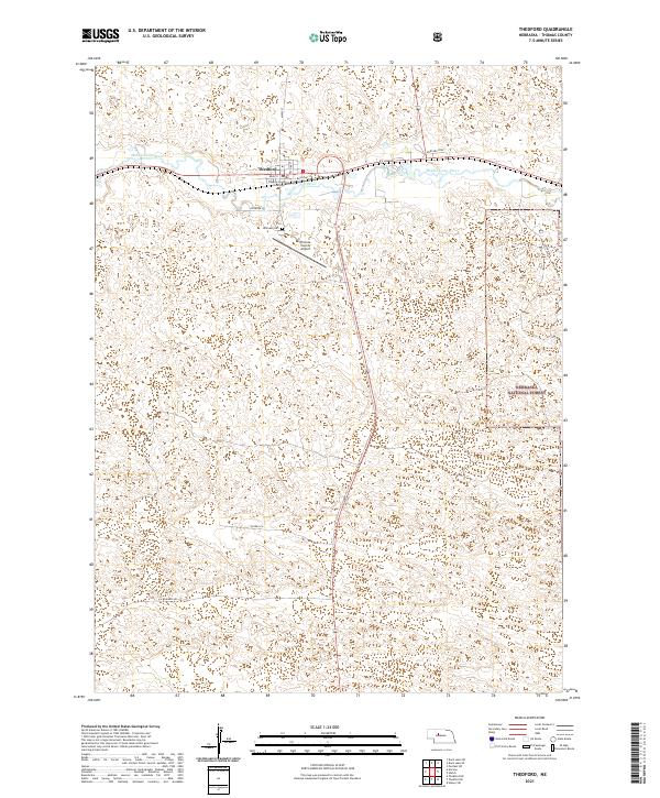
2021 Map of Thedford
USGS Topo · Published 2021About this map
Thedford serves as the focal point of this Thomas County survey, centered where the Middle Loup River winds through the Sandhills. The village layout is clearly defined by historical thoroughfares like Main St and Railroad St, anchored by the Thomas County Courthouse. The surrounding landscape is characterized by its unique topographic relief, with local roads like Windmill Rd and Riverside Rd following the natural contours of the river valley. To the south, the edge of the Nebraska National Forest marks a distinct transition in land use. Genealogists and local historians can pinpoint significant community landmarks such as Hillcrest Cem and the Thomas County Airport, which underscore the town's role as a regional hub for this sparsely populated portion of the Great Plains.
Find a feature on this map
20 named features on this map. Tap any name to fly to it.
Don’t see what you’re looking for? This feature index may not catch every label — zoom into the map to look around manually.
Map Details
Editions of this 2021 Thedford Map
This is the sole edition of this map. No revisions or reprints were ever made.
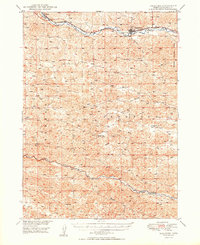
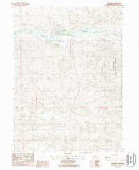
Historical Maps of Thedford Through Time
7 maps found