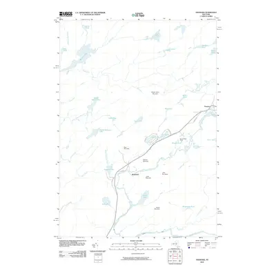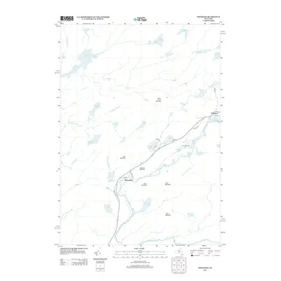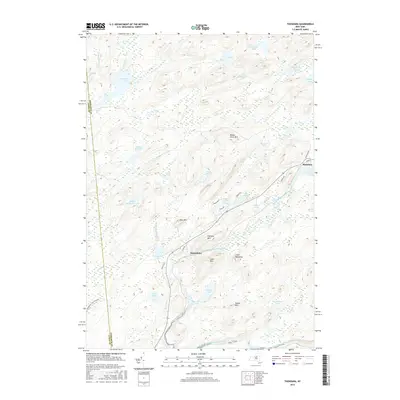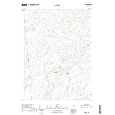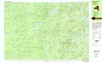
1989 Map of Thendara
USGS Topo · Published 1989About this map
The Adirondack Park interior within Webb and Greig is defined by an intricate network of glacial lakes and feeder streams during the late 1980s. The settlement of Thendara serves as a primary point of human activity in this landscape, while more isolated locations like Spruce Ridge Camp and Minnehaha are tucked away along the Moose River Mountain foothills. The terrain is notably dense with water bodies including Big Otter Lake, Pine Lake, and Copper Lake, many of which are connected by small waterways like Crooked Creek and Otter Creek.
Find a feature on this map
64 named features on this map. Tap any name to fly to it.
Don’t see what you’re looking for? This feature index may not catch every label — zoom into the map to look around manually.
Map Details
Editions of this 1989 Thendara Map
2 editions found
Historical Maps of Webb Through Time
6 maps found