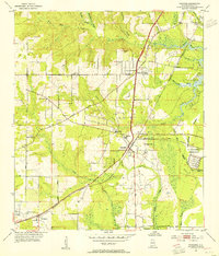
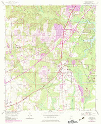
1953 Map of Theodore
USGS Topo · Published 1955About this map
The Louisville and Nashville railroad corridor anchors this mid-century view of Mobile County, where established agricultural settlements meet the branching waterways of the Gulf coastal plain. The town of Theodore sits at a strategic junction of rail and road, including the historic Old Spanish Trail, serving as a central hub for the surrounding rural communities of Irvington, Three Notches, and Laurendine. The landscape is defined by the intricate drainage of the Fowl River and its numerous tributaries like Rabbit Creek and Halls Mill Creek, which wind through a mix of cultivated fields and wooded lowlands.
Find a feature on this map
36 named features on this map. Tap any name to fly to it.
Don’t see what you’re looking for? This feature index may not catch every label — zoom into the map to look around manually.
Map Details
Editions of this 1953 Theodore Map
6 editions found
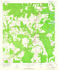
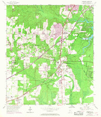
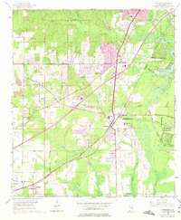
Other maps of this area

1921 · Grand Bay
USGS Topo · 1:62,500

1921 · Delchamps
USGS Topo · 1:62,500

1922 · Mobile
USGS Topo · 1:62,500

1940 · Hollingers Island
USGS Topo · 1:31,680

1940 · Mobile
USGS Topo · 1:31,680

1940 · Mobile
USGS Topo · 1:62,500

1941 · Cedar Point
USGS Topo · 1:62,500

1941 · Hurley
USGS Topo · 1:62,500

1942 · Theodore
USGS Topo · 1:31,680

1943 · Cedar Point
USGS Topo · 1:62,500