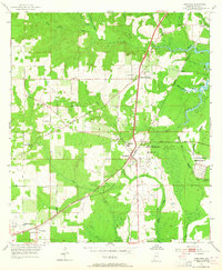
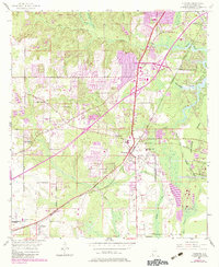
1953 Map of Theodore
USGS Topo · Published 1964About this map
Theodore serves as a central hub on this mid-century survey of coastal Mobile County, where the Louisville and Nashville railroad intersects with the historic Old Spanish Trail. The landscape is a mosaic of small truck farms and orchards, supported by a dense network of watercourses including Rabbit Creek and the Fowl River. To the west, the settlements of Irvington and St Elmo appear along the rail line, while local social infrastructure is represented by rural centers like Union Church and the St Elmo-Irvington School. A significant portion of the eastern territory is occupied by the U S Government Reservation and Hollingers Island, reflecting the area's strategic coastal location south of Mobile. The map preserves the original alignment of historical thoroughfares like Old Pascagoula Road before the expansion of modern highway systems changed the rural character of these communities.
Find a feature on this map
36 named features on this map. Tap any name to fly to it.
Don’t see what you’re looking for? This feature index may not catch every label — zoom into the map to look around manually.
Map Details
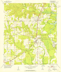
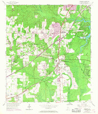
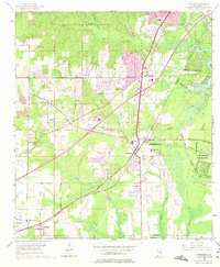
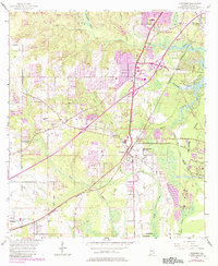
Editions of this 1953 Theodore Map
6 editions found
Other maps of this area

1921 · Grand Bay
USGS Topo · 1:62,500

1921 · Delchamps
USGS Topo · 1:62,500

1922 · Mobile
USGS Topo · 1:62,500

1940 · Hollingers Island
USGS Topo · 1:31,680

1940 · Mobile
USGS Topo · 1:31,680

1940 · Mobile
USGS Topo · 1:62,500

1941 · Cedar Point
USGS Topo · 1:62,500

1941 · Hurley
USGS Topo · 1:62,500

1942 · Theodore
USGS Topo · 1:31,680

1943 · Cedar Point
USGS Topo · 1:62,500