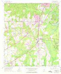
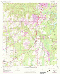
1953 Map of Theodore
USGS Topo · Published 1975About this map
The settlement of Theodore and its surrounding countryside south of Mobile reflect a landscape shaped by transportation and agriculture in the mid-20th century. The Louisville and Nashville railroad corridor anchors the community, linking older rail-oriented hamlets like Irvington and St Elmo with the industrial and residential growth further north at Three Notches. This survey captures a specific era of change, where established institutions like the County Farm and Union Church sit alongside newer infrastructure like the Sky Ranch Airfield and the sprawling U S Government Reservation near the Middle Fork Deer River. The intricate drainage system of Fowl River, Halls Mill Creek, and Rabbit Creek defines the local topography, influencing the placement of early routes such as Old Pascagoula Road. Local social life is mapped through numerous country schools and churches, including Magnolia Ch and the St Elmo-Irvington Sch.
Find a feature on this map
39 named features on this map. Tap any name to fly to it.
Don’t see what you’re looking for? This feature index may not catch every label — zoom into the map to look around manually.
Map Details
Editions of this 1953 Theodore Map
6 editions found
Other maps of this area

1921 · Grand Bay
USGS Topo · 1:62,500

1921 · Delchamps
USGS Topo · 1:62,500

1922 · Mobile
USGS Topo · 1:62,500

1940 · Hollingers Island
USGS Topo · 1:31,680

1940 · Mobile
USGS Topo · 1:31,680

1940 · Mobile
USGS Topo · 1:62,500

1941 · Cedar Point
USGS Topo · 1:62,500

1941 · Hurley
USGS Topo · 1:62,500

1942 · Theodore
USGS Topo · 1:31,680

1943 · Cedar Point
USGS Topo · 1:62,500