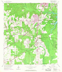
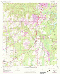
1953 Map of Theodore
USGS Topo · Published 1968About this map
Theodore serves as a central hub on this Gulf Coast landscape, which underwent significant post-war revision as documented by the 1967 aerial updates. The community of Three Notches and the surrounding woodlands are bisected by the Louisville and Nashville railroad, which historically dictated the growth of nearby Irvington and St Elmo. Local infrastructure includes the St Elmo-Irvington School and several rural houses of worship such as Magnolia Church and Pentecostal Church.
Find a feature on this map
29 named features on this map. Tap any name to fly to it.
Don’t see what you’re looking for? This feature index may not catch every label — zoom into the map to look around manually.
Map Details
Editions of this 1953 Theodore Map
6 editions found
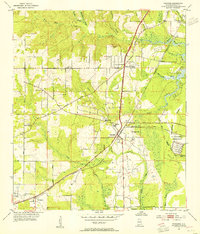
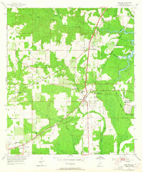
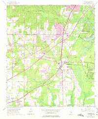
Other maps of this area

1921 · Grand Bay
USGS Topo · 1:62,500

1921 · Delchamps
USGS Topo · 1:62,500

1922 · Mobile
USGS Topo · 1:62,500

1940 · Hollingers Island
USGS Topo · 1:31,680

1940 · Mobile
USGS Topo · 1:31,680

1940 · Mobile
USGS Topo · 1:62,500

1941 · Cedar Point
USGS Topo · 1:62,500

1941 · Hurley
USGS Topo · 1:62,500

1942 · Theodore
USGS Topo · 1:31,680

1943 · Cedar Point
USGS Topo · 1:62,500