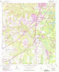
1953 Map of Theodore
USGS Topo · Published 1984About this map
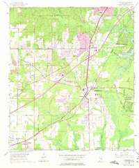
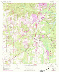
The Louisville and Nashville railroad corridor anchors the landscape of southern Mobile County, connecting the historic hubs of Theodore, Irvington, and St Elmo. This 1953 survey, updated with 1980s suburban growth, reveals a transition from the agricultural operations at the County Farm and scattered rural congregations like Cedar Grove Ch to the emerging Industrial Park on the banks of the Middle Fork Deer River. The intricate hydrology of the Gulf coastal plain is evident in the winding courses of Rabbit Creek and Muddy Creek, which define the low-lying reaches near Hollingers Island. While purple photorevisions mark the sprawl expanding from Mobile, the map preserves older infrastructure like the Old Pascagoula Road and several family-named landmarks including Lloyds Cem, offering a detailed view of the region's evolving transport and settlement patterns.
Find a feature on this map
40 named features on this map. Tap any name to fly to it.
Don’t see what you’re looking for? This feature index may not catch every label — zoom into the map to look around manually.
Map Details
Editions of this 1953 Theodore Map
6 editions found
Other maps of this area

1921 · Grand Bay
USGS Topo · 1:62,500

1921 · Delchamps
USGS Topo · 1:62,500

1922 · Mobile
USGS Topo · 1:62,500

1940 · Hollingers Island
USGS Topo · 1:31,680

1940 · Mobile
USGS Topo · 1:31,680

1940 · Mobile
USGS Topo · 1:62,500

1941 · Cedar Point
USGS Topo · 1:62,500

1941 · Hurley
USGS Topo · 1:62,500

1942 · Theodore
USGS Topo · 1:31,680

1943 · Cedar Point
USGS Topo · 1:62,500