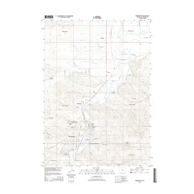
2015 Map of Thermopolis
USGS Topo · Published 2015About this map
The Bighorn River carves through this Wyoming landscape, defining the character and development of Thermopolis and its surrounding communities. This 2015 record shows the intricate geothermal and hydrological features that make the area unique, including Big Spring, the Rainbow Fountain, and the travertine formations of the Teepee Terraces. The settlement pattern follows the river valley, with East Thermopolis, Red Lane, and Lucerne connected by a network of ditches and canals like the Dempsey Canal and Kirby Ditch, which support the arid high-desert environment.
Find a feature on this map
68 named features on this map. Tap any name to fly to it.
Don’t see what you’re looking for? This feature index may not catch every label — zoom into the map to look around manually.
Map Details
Editions of this 2015 Thermopolis Map
This is the sole edition of this map. No revisions or reprints were ever made.
Other maps of this area

1914 · Blue Mesa
USGS Topo · 1:62,500

1916 · Blue Mesa
USGS Topo · 1:62,500

1945 · Kirby
USGS Topo · 1:62,500

1946 · Kirby
USGS Topo · 1:62,500

1955 · Thermopolis
USGS Topo · 1:250,000

1958 · Thermopolis
USGS Topo · 1:250,000

1960 · Devil Slide
USGS Topo · 1:24,000

1960 · Red Hole
USGS Topo · 1:24,000
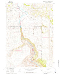
1960 · Wedding Of The Waters
USGS Topo · 1:24,000

1960 · Thermopolis
USGS Topo · 1:24,000