
1892 Map of Thibodaux
USGS Topo · Published 1898About this map
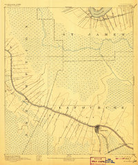
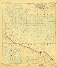
Thibodeaux sits at a critical junction of late nineteenth-century Louisiana commerce, where the Thibodeaux Branch connects the town to the broader reach of the Southern Pacific Railroad. This 1890s survey by Henry Gannett and R.U. Goode illustrates the dense ribbon-pattern settlements that cling to the natural levees of Bayou Lafourche, including Labadieville, Albemarle, and Georgia. Beyond these narrow strips of arable land, the map transitions abruptly into the expansive wetlands of the Atchafalaya basin, drained by meandering systems like Bayou Verrette and Bayou Chevreuil. To the north, a small bend of the Mississippi River appears near St James, flanked by the Texas and Pacific Railroad and riverside landings such as Pikes Peak and Delogney. The intricate topography highlights the struggle between plantation agriculture and the persistent deltaic swamp.
Find a feature on this map
22 named features on this map. Tap any name to fly to it.
Don’t see what you’re looking for? This feature index may not catch every label — zoom into the map to look around manually.
Map Details
Editions of this 1892 Thibodaux Map
3 editions found
Other maps of this area

1892 · Lac Des Allemands
USGS Topo · 1:62,500

1892 · Mount Airy
USGS Topo · 1:62,500

1892 · Gibson
USGS Topo · 1:62,500

1892 · Houma
USGS Topo · 1:62,500

1892 · Donaldsonville
USGS Topo · 1:62,500

1897 · Gibson
USGS Topo · 1:62,500

1927 · Thibodaux NW
USGS Topo · 1:31,680

1932 · Lac Des Allemands NW
USGS Topo · 1:31,680

1932 · Lac Des Allemands SW
USGS Topo · 1:31,680

1932 · Thibodaux NE
USGS Topo · 1:31,680