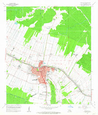
1962 Map of Thibodaux
USGS Topo · Published 1963About this map
Bayou Lafourche serves as the primary artery for this corner of Louisiana, where the cultural and economic landscape is defined by the transition from historic plantation agriculture to the mid-century energy boom. The city of Thibodaux acts as a dense urban hub, containing regional institutions like Francis T Nicholls State College and St Joseph Hospital. The surrounding countryside is heavily partitioned into legacy tracts such as Abby Plantation, Rienzi Plantation, and St James Plantation, reflecting long-established land divisions.
Find a feature on this map
53 named features on this map. Tap any name to fly to it.
Don’t see what you’re looking for? This feature index may not catch every label — zoom into the map to look around manually.
Map Details
Editions of this 1962 Thibodaux Map
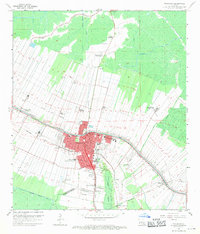
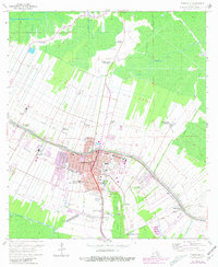
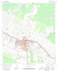
4 editions found
Other maps of this area

1892 · Lac Des Allemands
USGS Topo · 1:62,500

1892 · Gibson
USGS Topo · 1:62,500

1892 · Houma
USGS Topo · 1:62,500

1892 · Thibodaux
USGS Topo · 1:62,500

1897 · Gibson
USGS Topo · 1:62,500

1927 · Thibodaux NW
USGS Topo · 1:31,680

1932 · Lac Des Allemands NW
USGS Topo · 1:31,680

1932 · Lac Des Allemands SW
USGS Topo · 1:31,680

1932 · Thibodaux NE
USGS Topo · 1:31,680

1932 · Houma NW
USGS Topo · 1:31,680