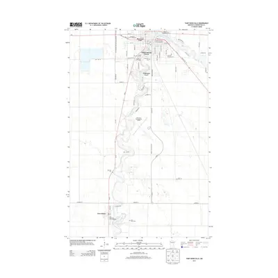
2013 Map of Thief River Falls
USGS Topo · Published 2013About this map
The Red Lake River snakes through the heart of Pennington County, anchoring the regional hub of Thief River Falls and the smaller settlement of Saint Hilaire to the south. This 2013 survey illustrates a landscape where civic infrastructure and history meet, featuring the Pennington County Fairgrounds and the heritage-focused Peder Engelstad Pioneer Village. The river's winding path dictates the local geography, bordered by the Tourist Park Campground and several residential developments like Basswood Court and Challenger Court.
Find a feature on this map
61 named features on this map. Tap any name to fly to it.
Don’t see what you’re looking for? This feature index may not catch every label — zoom into the map to look around manually.
Map Details
Editions of this 2013 Thief River Falls Map
This is the sole edition of this map. No revisions or reprints were ever made.
Other maps of this area

1918 · Terrebonne
USGS Topo · 1:62,500

1918 · Red Lake Falls
USGS Topo · 1:62,500

1918 · Viking
USGS Topo · 1:62,500

1943 · Thief River Falls
USGS Topo · 1:62,500

1952 · Red Lake Falls
USGS Topo · 1:62,500

1952 · Grand Forks
USGS Topo · 1:250,000

1952 · Thief River Falls
USGS Topo · 1:250,000

1956 · Thief River Falls
USGS Topo · 1:250,000

1956 · Grand Forks
USGS Topo · 1:250,000

1957 · Thief River Falls
USGS Topo · 1:250,000
Featured Places
- Thief River Falls, MN
- St. Hilaire, MN
- Aaesby Trailer Court, MN
- Northside Trailer Park, St. Hilaire
- Saint Hilaire, St. Hilaire