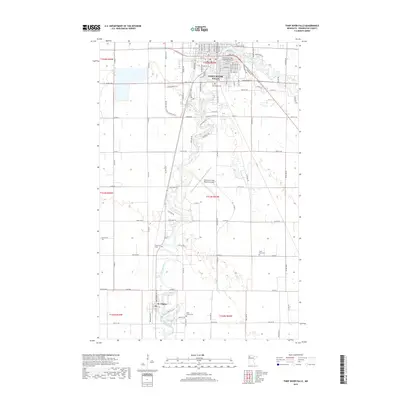
2019 Map of Thief River Falls
USGS Topo · Published 2019About this map
The Red Lake River meanders south through this corner of Pennington County, connecting the regional hub of Thief River Falls with the smaller settlement of St. Hilaire. The landscape reflects a transition from the structured urban grid of the city, where the Thief River Falls Fire Department and various residential avenues are concentrated, to the expansive agricultural tracts and drainage systems like County Ditch Number Seventy.
Find a feature on this map
96 named features on this map. Tap any name to fly to it.
Don’t see what you’re looking for? This feature index may not catch every label — zoom into the map to look around manually.
Map Details
Editions of this 2019 Thief River Falls Map
This is the sole edition of this map. No revisions or reprints were ever made.
Other maps of this area

1918 · Terrebonne
USGS Topo · 1:62,500

1918 · Red Lake Falls
USGS Topo · 1:62,500

1918 · Viking
USGS Topo · 1:62,500

1943 · Thief River Falls
USGS Topo · 1:62,500

1952 · Red Lake Falls
USGS Topo · 1:62,500

1952 · Grand Forks
USGS Topo · 1:250,000

1952 · Thief River Falls
USGS Topo · 1:250,000

1956 · Thief River Falls
USGS Topo · 1:250,000

1956 · Grand Forks
USGS Topo · 1:250,000

1957 · Thief River Falls
USGS Topo · 1:250,000
Featured Places
- Thief River Falls, MN
- St. Hilaire, MN
- Aaesby Trailer Court, MN
- Northside Trailer Park, St. Hilaire
- Saint Hilaire, St. Hilaire