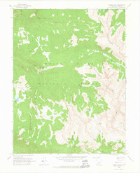
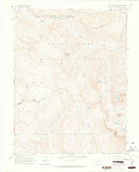
1960 Map of Thimble Rock
USGS Topo · Published 1964About this map
White River National Forest defines this high-elevation landscape in the Williams Mts, where seasonal movement and water management are the primary human imprints. Mapping in the late 1950s highlights a complex system of drainage and trails, with the Roaring Fork River running along the southern edge and high-altitude water bodies like Sawyer Lake and Warren Lakes dotting the terrain. The presence of Smuggler Mountain and the Jeep Trail suggests the area's transition from early mining interests toward recreational and forest management uses.
Find a feature on this map
29 named features on this map. Tap any name to fly to it.
Don’t see what you’re looking for? This feature index may not catch every label — zoom into the map to look around manually.
Map Details
Editions of this 1960 Thimble Rock Map
3 editions found
Other maps of this area

1893 · Aspen
USGS Topo · 1:62,500

1895 · Aspen
USGS Topo · 1:62,500

1909 · Mount Jackson
USGS Topo · 1:125,000

1911 · Mount Jackson
USGS Topo · 1:125,000

1957 · Leadville
USGS Topo · 1:250,000

1959 · Leadville
USGS Topo · 1:250,000

1960 · Leadville
USGS Topo · 1:250,000
1960 · Hayden Peak
USGS Topo · 1:24,000
1960 · New York Peak
USGS Topo · 1:24,000

1960 · Aspen
USGS Topo · 1:24,000