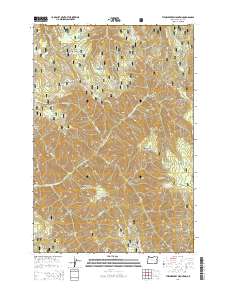
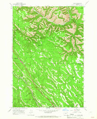
2014 Map of Thimbleberry Mountain
USGS Topo · Published 2014About this map
The Umatilla National Forest encompasses this high-elevation terrain in Oregon, defined by a series of prominent peaks and deep drainage systems. The landscape is anchored by Thimbleberry Mountain and Huckleberry Mountain, with the South Fork Umatilla River and North Fork Meacham Cr carving through the steep topography. An extensive network of forest development roads, including the notable Skyline Rd, provides access across ridges like Goodman Ridge and through gaps such as Dusty Saddle. Numerous named water sources, including Banjo Spring and Dead Horse Spring, suggest the importance of reliable water for livestock or forestry operations in this area. From the northern heights of The Shimmiehorn to the southern prominence of Wilbur Mountain, the map documents a territory managed for its natural resources and watershed value in the early 21st century.
Find a feature on this map
62 named features on this map. Tap any name to fly to it.
Don’t see what you’re looking for? This feature index may not catch every label — zoom into the map to look around manually.
Map Details
Editions of this 2014 Thimbleberry Mountain Map
This is the sole edition of this map. No revisions or reprints were ever made.
Other maps of this area

1953 · Pendleton
USGS Topo · 1:250,000

1956 · Pendleton
USGS Topo · 1:250,000
1963 · Andies Prairie
USGS Topo · 1:24,000
1963 · Sanderson Spring
USGS Topo · 1:24,000
1963 · Bingham Springs
USGS Topo · 1:24,000
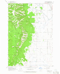
1963 · Summerville
USGS Topo · 1:24,000
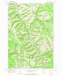
1964 · Duncan
USGS Topo · 1:24,000
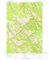
1964 · Thimbleberry Mtn
USGS Topo · 1:24,000
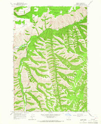
1964 · Gibbon
USGS Topo · 1:24,000
1964 · Huron
USGS Topo · 1:24,000