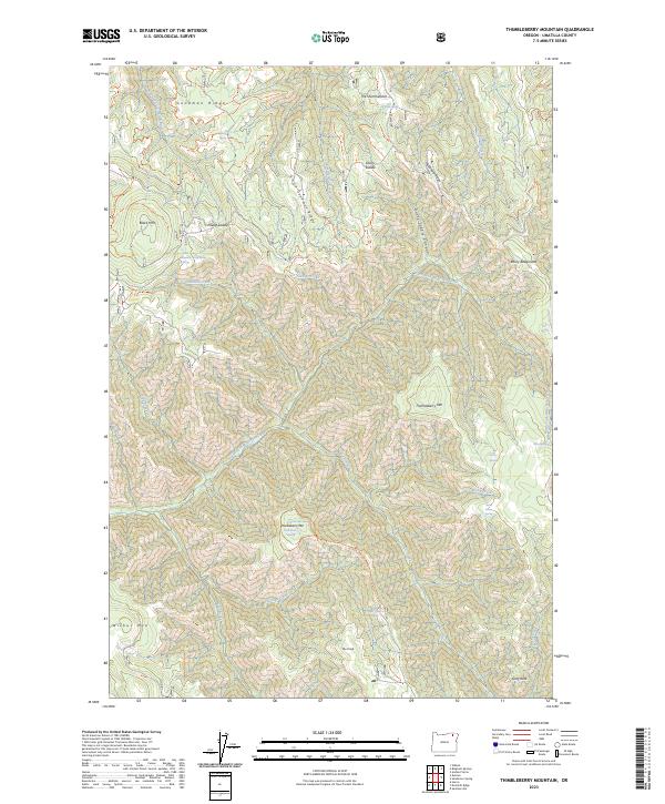
2023 Map of Thimbleberry Mountain
USGS Topo · Published 2023About this map
Thimbleberry Mtn rises at the heart of this landscape, surrounded by a complex system of ridges and saddles within the Umatilla National Forest. The terrain is defined by the headwaters of several critical drainages, including the South Fork Umatilla River in the northwest and North Fork Meacham Creek cutting through the central and eastern sections. These waterways are fed by numerous small springs, such as Huckleberry Spring, Banjo Spring, and Pole Spring, which suggest a land historically utilized for seasonal grazing and forest management rather than permanent settlement. The presence of named landmarks like Rocky Bedground and Pileup Saddle points to the area's significance for early livestock herding and pack trails. High points like Black Mtn and Wilbur Mtn anchor the ridges, while Goodman Ridge and Little Goodman Ridge provide natural corridors through the steep relief of the Blue Mountains.
Find a feature on this map
41 named features on this map. Tap any name to fly to it.
Don’t see what you’re looking for? This feature index may not catch every label — zoom into the map to look around manually.
Map Details
Editions of this 2023 Thimbleberry Mountain Map
This is the sole edition of this map. No revisions or reprints were ever made.
Other maps of this area

1953 · Pendleton
USGS Topo · 1:250,000

1956 · Pendleton
USGS Topo · 1:250,000

1963 · Andies Prairie
USGS Topo · 1:24,000

1963 · Sanderson Spring
USGS Topo · 1:24,000

1963 · Bingham Springs
USGS Topo · 1:24,000

1963 · Summerville
USGS Topo · 1:24,000

1964 · Duncan
USGS Topo · 1:24,000

1964 · Thimbleberry Mtn
USGS Topo · 1:24,000

1964 · Gibbon
USGS Topo · 1:24,000

1964 · Huron
USGS Topo · 1:24,000