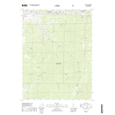
2020 Map of Thistle
USGS Topo · Published 2020About this map
Thistle and the Rio railroad line sit at the northern edge of this terrain where Spanish Fork Canyon meets Soldier Cr. The landscape is defined by the boundary between the Uinta National Forest and the Manti-La Sal National Forest, a region marked by significant elevation changes and numerous seasonal drainages like Sweat Cr and Dairy Fork. A complex network of trails, including the Sky High Trail and Coffeepot Trail, provides access to high points such as Coffeepot Ridge and isolated water sources like Sky High Spring and Little Bear Spring. The presence of the Thistle Substation and Smiths Reservoir indicates the infrastructure required to manage resources in this mountainous Utah County corridor, while landmarks like The Red Narrows highlight the distinctive geology of the canyon passage.
Find a feature on this map
53 named features on this map. Tap any name to fly to it.
Don’t see what you’re looking for? This feature index may not catch every label — zoom into the map to look around manually.
Map Details
Editions of this 2020 Thistle Map
This is the sole edition of this map. No revisions or reprints were ever made.
Other maps of this area
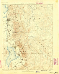
1885 · Salt Lake
USGS Topo · 1:250,000
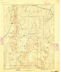
1885 · Manti
USGS Topo · 1:250,000
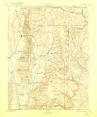
1895 · Manti
USGS Topo · 1:250,000
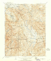
1907 · Strawberry Valley
USGS Topo · 1:125,000
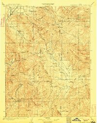
1909 · Strawberry Valley
USGS Topo · 1:125,000
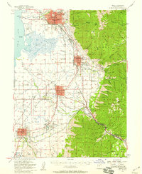
1949 · Provo
USGS Topo · 1:62,500
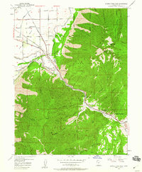
1949 · Spanish Fork Peak
USGS Topo · 1:24,000
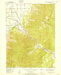
1951 · Spanish Fork Peak
USGS Topo · 1:24,000
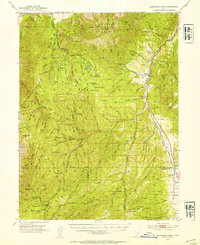
1952 · Santaquin Peak
USGS Topo · 1:62,500
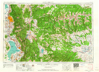
1954 · Salt Lake City
USGS Topo · 1:250,000