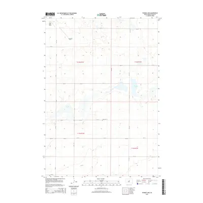
2015 Map of Thomas Lake
USGS Topo · Published 2015About this map
Thomas Lake and Spring Lake anchor this Hyde County landscape, where the prairie is defined by a rigorous grid of section lines and gravel routes. In this rural stretch of South Dakota, the local economy and transportation are marked by private aviation facilities such as Gary Myers Airport and Ralph Myers Airport, reflecting the region's reliance on air travel for agricultural and personal connectivity. The presence of Spring Lake Cem along 179th St provides a specific point of interest for genealogists, marking the resting place for local families in this sparsely populated township. The map details the precise township and range divisions, including t116n r73w and t116n r72w, illustrating how the Public Land Survey System structured the development of these plains. County roads like CR-649 and CR-645 intersect the various numbered streets, forming the primary network for those navigating between the isolated farmsteads and the lakes that dot the horizon.
Find a feature on this map
23 named features on this map. Tap any name to fly to it.
Don’t see what you’re looking for? This feature index may not catch every label — zoom into the map to look around manually.
Map Details
Editions of this 2015 Thomas Lake Map
This is the sole edition of this map. No revisions or reprints were ever made.
Other maps of this area
1949 · Mitchell Lake
USGS Topo · 1:24,000
1950 · Mitchell Lake
USGS Topo · 1:24,000
1951 · Rice Lake
USGS Topo · 1:24,000
1951 · Rezac Lake NW
USGS Topo · 1:24,000
1953 · Huron
USGS Topo · 1:250,000
1954 · Huron
USGS Topo · 1:250,000
1968 · Harrold NW
USGS Topo · 1:24,000
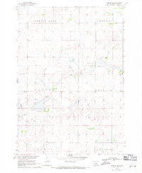
1968 · Harrold NE
USGS Topo · 1:24,000
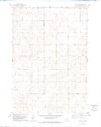
1978 · Bald Hills
USGS Topo · 1:24,000
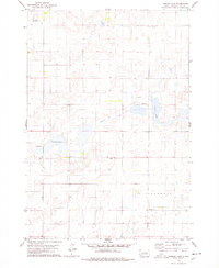
1978 · Thomas Lake
USGS Topo · 1:24,000