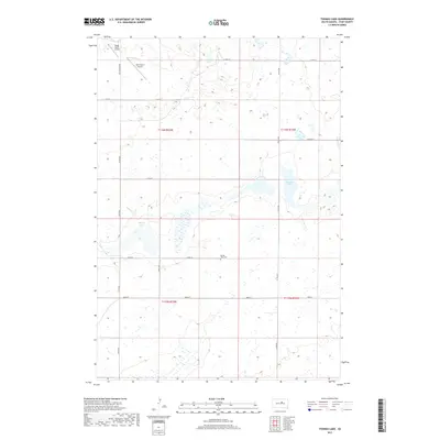
2017 Map of Thomas Lake
USGS Topo · Published 2017About this map
Spring Lake Cem sits central to this prairie landscape in Hyde County, illustrating the sparse but deliberate settlement pattern of South Dakota's interior. The terrain is defined by glacial depressions and wetlands, most notably Thomas Lake and the smaller Spring Lake to the west. This 2017 survey reveals the intersection of agricultural heritage and modern utility, where local aviation landmarks like Ralph Myers Airport and Gary Myers Airport serve the surrounding farmsteads. The road network follows the rigid Public Land Survey System grid, with named routes like Holabird Grade and 327th Ave connecting isolated homesteads across the townships of t116n r73w and t116n r72w. The concentration of water bodies amidst the township lines provides a clear view of the natural hydrology that dictates the region's land use.
Find a feature on this map
20 named features on this map. Tap any name to fly to it.
Don’t see what you’re looking for? This feature index may not catch every label — zoom into the map to look around manually.
Map Details
Editions of this 2017 Thomas Lake Map
This is the sole edition of this map. No revisions or reprints were ever made.
Other maps of this area
1949 · Mitchell Lake
USGS Topo · 1:24,000
1950 · Mitchell Lake
USGS Topo · 1:24,000
1951 · Rice Lake
USGS Topo · 1:24,000
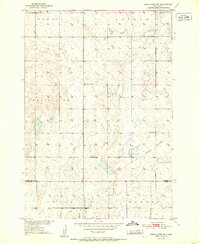
1951 · Rezac Lake NW
USGS Topo · 1:24,000
1953 · Huron
USGS Topo · 1:250,000
1954 · Huron
USGS Topo · 1:250,000
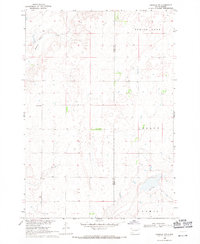
1968 · Harrold NW
USGS Topo · 1:24,000
1968 · Harrold NE
USGS Topo · 1:24,000
1978 · Bald Hills
USGS Topo · 1:24,000
1978 · Thomas Lake
USGS Topo · 1:24,000