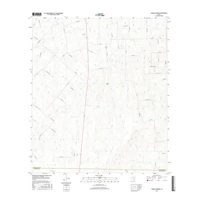
2016 Map of Thomas Springs
USGS Topo · Published 2016About this map
Zion Hill Cem stands as a focal point of local history in this rural landscape at the border of Guadalupe and Wilson counties. The terrain is defined by a dense network of seasonal drainages, most notably the south-flowing Ecleto Cr and its tributary, E Fork Ecleto Cr, which carve through the undulating elevations near Kings Hill. This topography shaped the local road network, where routes like Hysaw Rd and Tumbleweed navigate the divides between watercourses. Named features such as Thomas Springs and Gold Pool Br indicate the vital role of water sources in this ranching and agricultural region. The map preserves the names of early family-founded roads and landmarks, providing a clear record of the area's rural development and land use patterns prior to more modern suburban expansion from nearby population centers.
Find a feature on this map
62 named features on this map. Tap any name to fly to it.
Don’t see what you’re looking for? This feature index may not catch every label — zoom into the map to look around manually.
Map Details
Editions of this 2016 Thomas Springs Map
This is the sole edition of this map. No revisions or reprints were ever made.
Other maps of this area

1911 · San Marcos
USGS Topo · 1:125,000

1919 · San Marcos
USGS Topo · 1:125,000

1920 · Smiley
USGS Topo · 1:125,000

1924 · New Braunfels No 4
USGS Topo · 1:48,000

1924 · San Marcos 3-c
USGS Topo · 1:48,000

1924 · San Marcos 3-d
USGS Topo · 1:48,000

1927 · New Braunfels
USGS Topo · 1:62,500

1930 · Seguin
USGS Topo · 1:62,500

1942 · Dewville
USGS Topo · 1:62,500

1953 · Seguin
USGS Topo · 1:250,000