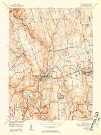
1951 Map of Thomaston
USGS Topo · Published 1951About this map
The Naugatuck River corridor serves as the industrial and transit spine of this mid-century Connecticut landscape, flanked by the steep terrain of the Litchfield Hills. This 1951 edition highlights the dense development of the period, particularly the rail infrastructure of the New York New Haven and Hartford line through Thomaston (BM 393) and the Terryville Tunnel in Plymouth. Water management for the surrounding industrial valleys is evident in the series of reservoirs, including Bristol Res No 4 through Bristol Res No 8. Local history is anchored by numerous family and community sites, from the Holt Sch to various rural cemeteries like Northfield Cem and West Side Cem. The presence of the Mount Toby Airport and Roraback Lodge reflects the mix of early aviation and recreational land use during the post-war era.
Find a feature on this map
89 named features on this map. Tap any name to fly to it.
Don’t see what you’re looking for? This feature index may not catch every label — zoom into the map to look around manually.
Map Details
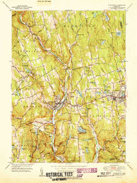
Editions of this 1951 Thomaston Map
2 editions found
Other maps of this area

1892 · Winsted
USGS Topo · 1:62,500

1892 · Meriden
USGS Topo · 1:62,500

1892 · Granby
USGS Topo · 1:62,500

1893 · Waterbury
USGS Topo · 1:62,500

1893 · Meriden
USGS Topo · 1:62,500

1904 · Waterbury
USGS Topo · 1:62,500

1904 · Litchfield
USGS Topo · 1:125,000

1906 · Farmington
USGS Topo · 1:125,000
1946 · Southington
USGS Topo · 1:31,680

1946 · Bristol
USGS Topo · 1:31,680