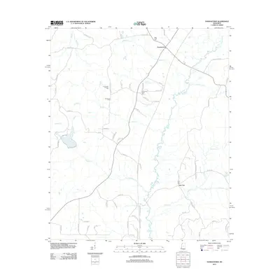
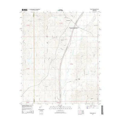
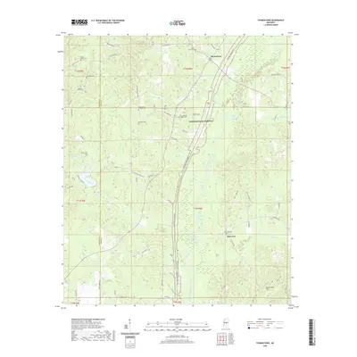
2024 Map of Thomastown
USGS Topo · Published 2024About this map
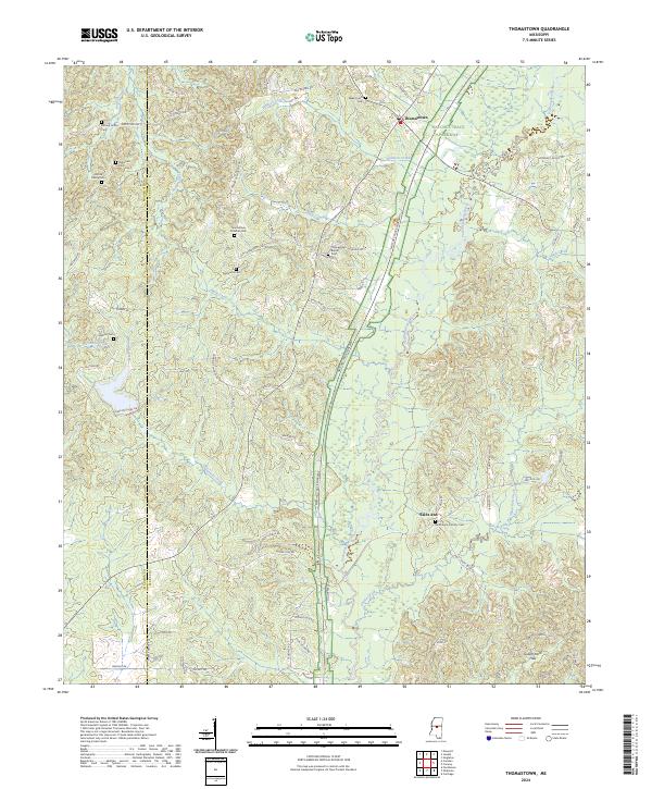
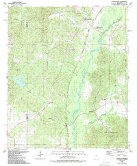
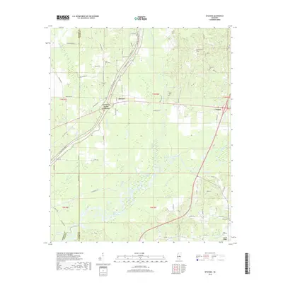
The Natchez Trace Parkway carves a prominent diagonal path through this rural central Mississippi landscape, where the Yockanookany River and its numerous tributaries like Ninemile Creek and Blailock Creek define the low-lying terrain. The settlement of Thomastown serves as a local anchor, characterized by a concentration of community sites including the Thomastown Christian Cem and Thomastown Baptist Cem. To the south, the village of Saint Ann sits near the Saint Anne Catholic Cem, illustrating the scattered, faith-centered nature of the region's historic development. Family history is deeply rooted in the land here, evidenced by several private burial grounds such as the Kernop Family Cem, Kirkwood Cem, and Adcock Family Cem that pepper the wooded ridges between the Government Hills and the river bottomlands.
Find a feature on this map
79 named features on this map. Tap any name to fly to it.
Don’t see what you’re looking for? This feature index may not catch every label — zoom into the map to look around manually.
Map Details
Editions of this 2024 Thomastown Map
This is the sole edition of this map. No revisions or reprints were ever made.
Historical Maps of Thomastown Through Time
32 maps found
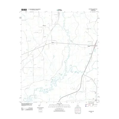
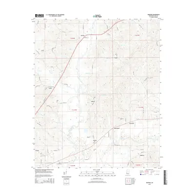
1962 Edinburg
Leake County, MS
1962 Thomastown
Leake County, MS
1972 McAfee
Leake County, MS
1988 Thomastown
Leake County, MS
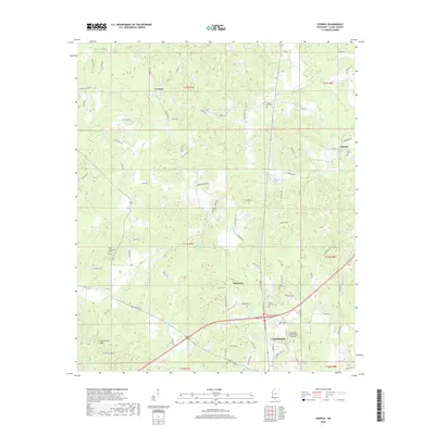
1989 Conway
Leake County, MS
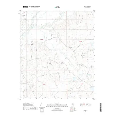
1989 Ofahoma
Leake County, MS
1989 Renfroe
Leake County, MS
2012 Conway
Leake County, MS
2012 McAfee
Leake County, MS
2012 Ofahoma
Leake County, MS
2012 Renfroe
Leake County, MS
2012 Thomastown
Leake County, MS
2015 Conway
Leake County, MS
2015 McAfee
Leake County, MS
2015 Ofahoma
Leake County, MS
2015 Renfroe
Leake County, MS
2015 Thomastown
Leake County, MS
2018 Conway
Leake County, MS
2018 McAfee
Leake County, MS
2018 Ofahoma
Leake County, MS
2018 Renfroe
Leake County, MS
2018 Thomastown
Leake County, MS
2020 Conway
Leake County, MS
2020 McAfee
Leake County, MS
2020 Ofahoma
Leake County, MS
2020 Renfroe
Leake County, MS
2020 Thomastown
Leake County, MS
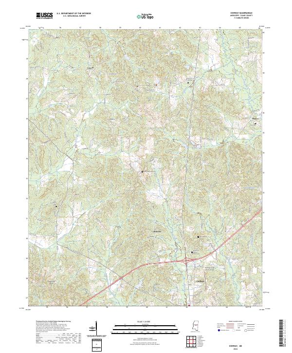
2024 Conway
Leake County, MS
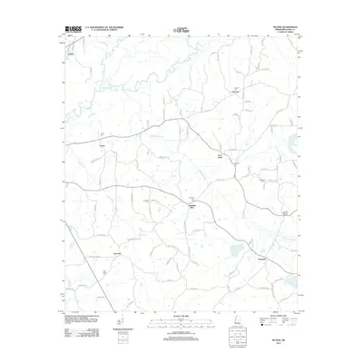
2024 McAfee
Leake County, MS
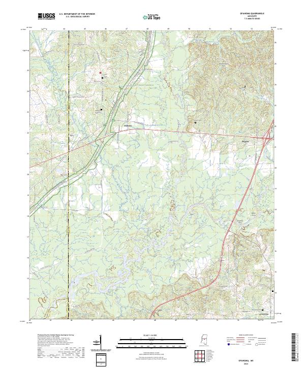
2024 Ofahoma
Leake County, MS
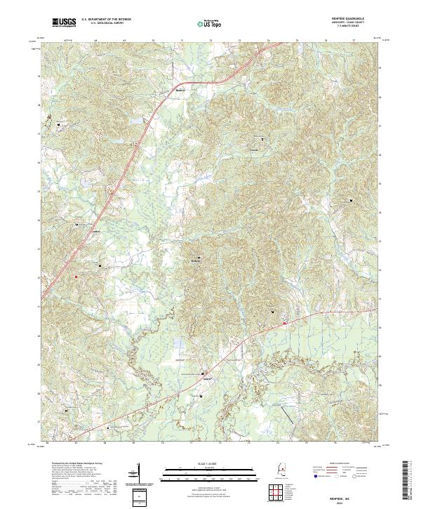
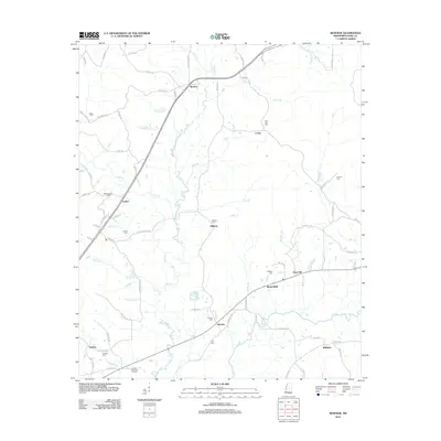
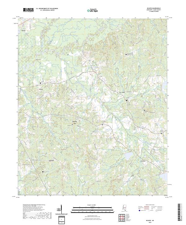
2024 Renfroe
Leake County, MS
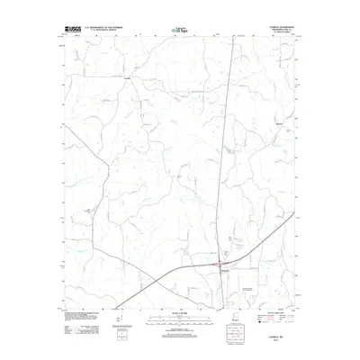
2024 Thomastown
Leake County, MS