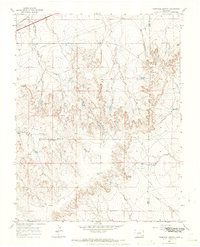
1966 Map of Thompson Arroyo
USGS Topo · Published 1970About this map
Thompson Arroyo and the Vandiver Canal cut through this southeastern Colorado landscape, marking a region defined by its water management and sparse high-plains industry during the mid-1960s. The topography is dominated by dramatic drainage patterns, with King Arroyo and the East Fork converging near the prominent Miller Mesa. Human activity is clustered in the northwest, where the A T & S F railroad tracks parallel a corridor featuring a Drive-in Theater and a Gravel Pit.
Find a feature on this map
19 named features on this map. Tap any name to fly to it.
Don’t see what you’re looking for? This feature index may not catch every label — zoom into the map to look around manually.
Map Details
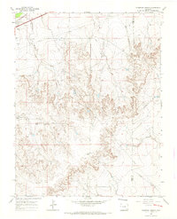
Editions of this 1966 Thompson Arroyo Map
2 editions found
Other maps of this area

1891 · Catlin
USGS Topo · 1:125,000

1891 · Higbee
USGS Topo · 1:125,000

1891 · Las Animas
USGS Topo · 1:125,000

1891 · Timpas
USGS Topo · 1:125,000

1893 · Higbee
USGS Topo · 1:125,000

1893 · Las Animas
USGS Topo · 1:125,000

1893 · Catlin
USGS Topo · 1:125,000

1894 · Timpas
USGS Topo · 1:125,000

1953 · Cheraw
USGS Topo · 1:24,000

1953 · Cornelia
USGS Topo · 1:24,000