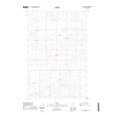
2020 Map of Thompson Coulee
USGS Topo · Published 2020About this map
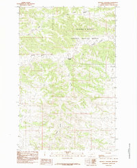
Knox Ridge and Snell Ridge dominate this high-plains landscape in Fergus County, Montana, where the terrain is deeply incised by a network of seasonal drainages and coulees. The map illustrates the hydrological patterns of the area, defined by the winding course of Armells Cr and its tributaries, including Dry Armells Cr and Sourdough Cr.
Find a feature on this map
13 named features on this map. Tap any name to fly to it.
Don’t see what you’re looking for? This feature index may not catch every label — zoom into the map to look around manually.
Map Details
Editions of this 2020 Thompson Coulee Map
This is the sole edition of this map. No revisions or reprints were ever made.
Other maps of this area
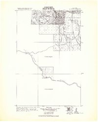
1943 · Landusky
USGS Topo · 1:125,000
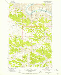
1954 · Baker Monument
USGS Topo · 1:24,000
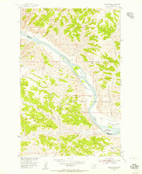
1954 · Grand Island
USGS Topo · 1:24,000

1954 · Lewistown
USGS Topo · 1:250,000

1959 · Lewistown
USGS Topo · 1:250,000
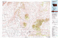
1978 · Lewistown
USGS Topo · 1:100,000
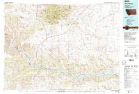
1984 · Zortman
USGS Topo · 1:100,000
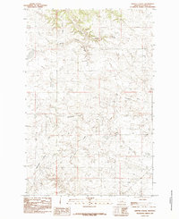
1985 · Griffee Coulee
USGS Topo · 1:24,000
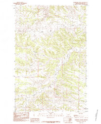
1985 · Thompson Coulee
USGS Topo · 1:24,000
1985 · Mitchell Crossing
USGS Topo · 1:24,000