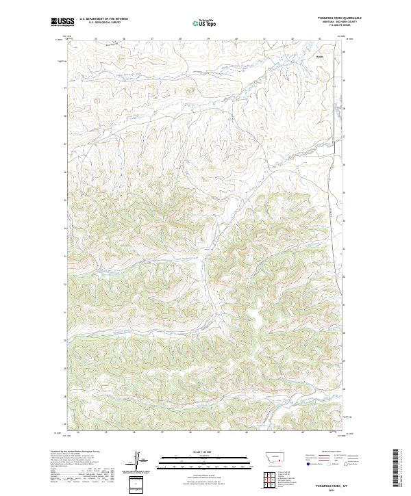
2024 Map of Thompson Creek
USGS Topo · Published 2024About this map
Busby anchors the northeast corner of this terrain, where the northern Cheyenne country is defined by an intricate drainage system feeding into Rosebud Creek. The landscape is carved by numerous seasonal and perennial waterways, most notably Thompson Creek and its tributary, Little Thompson Creek, which wind through the township boundaries of T4S and T5S. These creek valleys have long dictated the movement of people and livestock, evidenced by the modern corridor of Co Rd 314 and Thompson Crk Rd.
Find a feature on this map
18 named features on this map. Tap any name to fly to it.
Don’t see what you’re looking for? This feature index may not catch every label — zoom into the map to look around manually.
Map Details
Editions of this 2024 Thompson Creek Map
This is the sole edition of this map. No revisions or reprints were ever made.
Other maps of this area

1894 · Rosebud
USGS Topo · 1:125,000

1901 · Rosebud
USGS Topo · 1:125,000

1954 · Hardin
USGS Topo · 1:250,000

1957 · Hardin
USGS Topo · 1:250,000

1958 · Hardin
USGS Topo · 1:250,000

1958 · Busby
USGS Topo · 1:24,000

1958 · Birdseye Spring
USGS Topo · 1:24,000

1967 · Wolf Mountain Lookout
USGS Topo · 1:24,000

1967 · Kirby
USGS Topo · 1:24,000
1967 · Jeans Fork SE
USGS Topo · 1:24,000