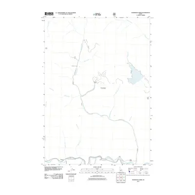
2011 Map of Thompson Creek
USGS Topo · Published 2011About this map
Mining operations and river access define this portion of the Idaho interior, where the Salmon River carves through the southern edge of the quadrangle. The landscape is dominated by industrial extractive sites, notably the Cyprus-Thompson C Open Pit Mine and Buckskin Mine, which are connected by a network of access roads including Thompson Creek Rd. These sites, along with the Scheelite Jim Mine and Twin Apex Mine, illustrate the area's ongoing importance to the regional mineral economy. Near the river, the small settlement of Torreys serves as a waypoint for recreation, situated next to the Torreys Hole Floatboat Access. The drainage patterns of Thompson Creek, Slate Creek, and Bruno Creek illustrate the complex watershed that feeds into the Salmon River, while Custer Lookout provides a high-altitude observation point overlooking the central mining district.
Find a feature on this map
24 named features on this map. Tap any name to fly to it.
Don’t see what you’re looking for? This feature index may not catch every label — zoom into the map to look around manually.
Map Details
Editions of this 2011 Thompson Creek Map
This is the sole edition of this map. No revisions or reprints were ever made.
Other maps of this area
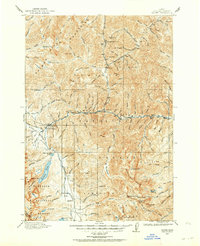
1919 · Custer
USGS Topo · 1:125,000
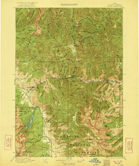
1922 · Custer
USGS Topo · 1:125,000
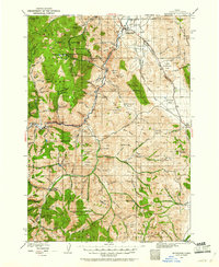
1929 · Bayhorse
USGS Topo · 1:125,000

1957 · Challis
USGS Topo · 1:250,000

1960 · Challis
USGS Topo · 1:250,000

1963 · Challis
USGS Topo · 1:250,000
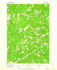
1963 · Custer
USGS Topo · 1:24,000
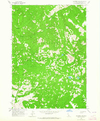
1963 · Bayhorse Lake
USGS Topo · 1:24,000
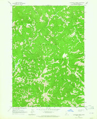
1963 · Elevenmile Creek
USGS Topo · 1:24,000
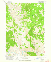
1963 · Clayton
USGS Topo · 1:24,000