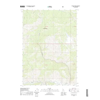
2020 Map of Thompson Creek
USGS Topo · Published 2020About this map
Salmon River drainage systems define this section of the Challis National Forest in central Idaho. The settlement of Torreys sits at the southern edge of the sheet along the river, serving as a primary point of human activity amidst a dense network of mountain tributaries. The terrain is characterized by steep elevation changes, with major drainages like Thompson Cr, Basin Cr, and Slate Cr carving deep paths through the forest landscape.
Find a feature on this map
26 named features on this map. Tap any name to fly to it.
Don’t see what you’re looking for? This feature index may not catch every label — zoom into the map to look around manually.
Map Details
Editions of this 2020 Thompson Creek Map
This is the sole edition of this map. No revisions or reprints were ever made.
Other maps of this area
1919 · Custer
USGS Topo · 1:125,000
1922 · Custer
USGS Topo · 1:125,000
1929 · Bayhorse
USGS Topo · 1:125,000

1957 · Challis
USGS Topo · 1:250,000

1960 · Challis
USGS Topo · 1:250,000

1963 · Challis
USGS Topo · 1:250,000
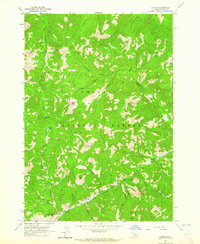
1963 · Custer
USGS Topo · 1:24,000
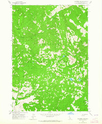
1963 · Bayhorse Lake
USGS Topo · 1:24,000
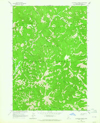
1963 · Elevenmile Creek
USGS Topo · 1:24,000
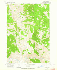
1963 · Clayton
USGS Topo · 1:24,000