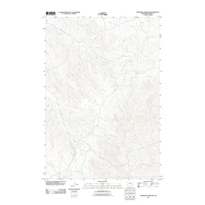
2011 Map of Thompson Creek NW
USGS Topo · Published 2011About this map
Reno Creek Rd serves as the primary artery through this drainage-dominated landscape of Big Horn County, following the natural contours formed by centuries of seasonal water flow. The area is defined by an intricate network of waterways, where Reno Creek and its many branches, such as South Fork Reno Creek and North Fork Reno Creek, carve through the terrain. The hydrology of the region suggests a history tied to ranching and livestock management, evidenced by features like Dipping Vat Creek. In the eastern portion of the quadrangle, the land shifts toward the Thompson Creek and Little Thompson Creek basins, while Davis Creek marks the northeastern reaches. This 2011 survey by the U.S. Geological Survey captures a sparsely settled landscape where the road network remains closely tethered to the creek valleys.
Find a feature on this map
9 named features on this map. Tap any name to fly to it.
Don’t see what you’re looking for? This feature index may not catch every label — zoom into the map to look around manually.
Map Details
Editions of this 2011 Thompson Creek NW Map
This is the sole edition of this map. No revisions or reprints were ever made.
Other maps of this area
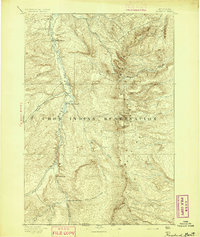
1894 · Rosebud
USGS Topo · 1:125,000
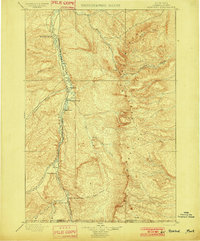
1901 · Rosebud
USGS Topo · 1:125,000

1954 · Hardin
USGS Topo · 1:250,000

1957 · Hardin
USGS Topo · 1:250,000

1958 · Hardin
USGS Topo · 1:250,000
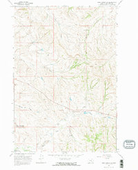
1967 · Crow Agency SE
USGS Topo · 1:24,000
1967 · Lodge Grass NE
USGS Topo · 1:24,000
1967 · Wolf Mountain Lookout
USGS Topo · 1:24,000
1967 · Jeans Fork SE
USGS Topo · 1:24,000
1967 · Thompson Creek
USGS Topo · 1:24,000