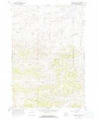
1967 Map of Thompson Creek
USGS Topo · Published 1971About this map
The Northern Cheyenne Indian Reservation occupies the eastern portion of this Big Horn County landscape, where the terrain is defined by a dense network of seasonal drainages and springs. Water sources such as Middle Fork Davis Creek, Wolf Creek, and Thompson Creek carve through the land, indicating the vital importance of hydrology in this ranching environment.
Find a feature on this map
15 named features on this map. Tap any name to fly to it.
Don’t see what you’re looking for? This feature index may not catch every label — zoom into the map to look around manually.
Map Details
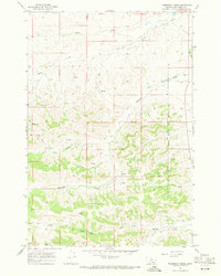
Editions of this 1967 Thompson Creek Map
2 editions found
Other maps of this area

1894 · Rosebud
USGS Topo · 1:125,000

1901 · Rosebud
USGS Topo · 1:125,000

1954 · Hardin
USGS Topo · 1:250,000

1957 · Hardin
USGS Topo · 1:250,000

1958 · Hardin
USGS Topo · 1:250,000

1958 · Busby
USGS Topo · 1:24,000

1958 · Birdseye Spring
USGS Topo · 1:24,000

1967 · Wolf Mountain Lookout
USGS Topo · 1:24,000

1967 · Kirby
USGS Topo · 1:24,000
1967 · Jeans Fork SE
USGS Topo · 1:24,000