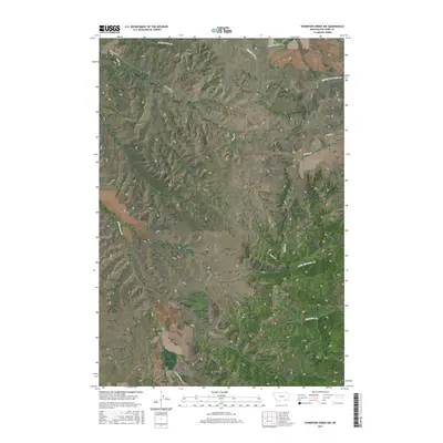
2017 Map of Thompson Creek NW
USGS Topo · Published 2017About this map
The Wolf Mountains anchor this section of Big Horn County, defining a landscape of high ridges and a complex drainage network. The terrain is deeply incised by multiple branches of Reno Cr, including the N Fork Reno Cr and S Fork Reno Cr, which flow through the western and central portions of the quadrangle. Transport in this isolated area is primarily represented by Reno Creek Rd, which skirts the northern boundaries and follows the natural contours of the drainages. In the southeast, the topography softens slightly around Thompson Cr and Little Thompson Cr. The absence of developed townsites or industrial hubs highlights the area's rural character, where the land is primarily partitioned by the Public Land Survey System as seen in township markers like t4s r37e. The map serves as a detailed record of the hydrography feeding into the Bighorn basin, from Dipping Vat Cr to the headwaters of Davis Cr.
Find a feature on this map
14 named features on this map. Tap any name to fly to it.
Don’t see what you’re looking for? This feature index may not catch every label — zoom into the map to look around manually.
Map Details
Editions of this 2017 Thompson Creek NW Map
This is the sole edition of this map. No revisions or reprints were ever made.
Other maps of this area
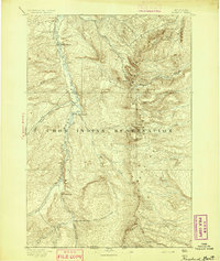
1894 · Rosebud
USGS Topo · 1:125,000
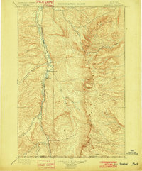
1901 · Rosebud
USGS Topo · 1:125,000

1954 · Hardin
USGS Topo · 1:250,000

1957 · Hardin
USGS Topo · 1:250,000

1958 · Hardin
USGS Topo · 1:250,000
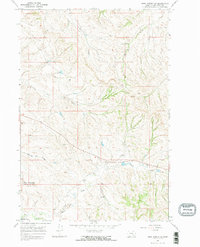
1967 · Crow Agency SE
USGS Topo · 1:24,000
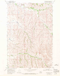
1967 · Lodge Grass NE
USGS Topo · 1:24,000
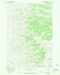
1967 · Wolf Mountain Lookout
USGS Topo · 1:24,000
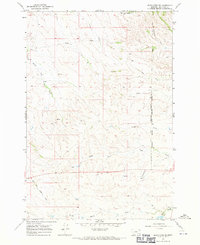
1967 · Jeans Fork SE
USGS Topo · 1:24,000
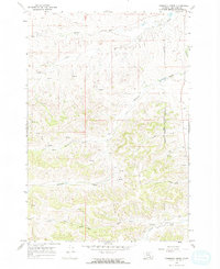
1967 · Thompson Creek
USGS Topo · 1:24,000