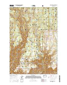
2014 Map of Thompson Flat
USGS Topo · Published 2014About this map
Umatilla National Forest dominates this landscape along the county line between Morrow and Umatilla. The topography is defined by the steep drainage basins of Potamus Cr and Thompson Cr, creating a network of ridges and canyon floors. High points like Potamus Point and Zion Scope overlook the drainage systems, while level areas such as Thompson Flat and Buckaroo Flat indicate breaks in the elevation where forest activities were centered. This 2014 survey reveals an extensive network of fire and access routes, including Potamus Lookout Rd and the Section Line Trl. Water sources are critical identifiers in this high-elevation terrain, from established sites like Matlock Waterhole to the Thompson Falls Spring, which feeds into the dramatic Thompson Falls.
Find a feature on this map
52 named features on this map. Tap any name to fly to it.
Don’t see what you’re looking for? This feature index may not catch every label — zoom into the map to look around manually.
Map Details
Editions of this 2014 Thompson Flat Map
This is the sole edition of this map. No revisions or reprints were ever made.
Other maps of this area
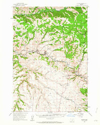
1950 · Ritter
USGS Topo · 1:62,500
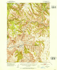
1951 · Monument
USGS Topo · 1:62,500
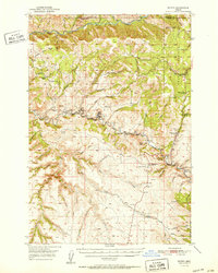
1952 · Ritter
USGS Topo · 1:62,500

1953 · Pendleton
USGS Topo · 1:250,000

1955 · Canyon City
USGS Topo · 1:250,000

1956 · Pendleton
USGS Topo · 1:250,000

1959 · Canyon City
USGS Topo · 1:250,000
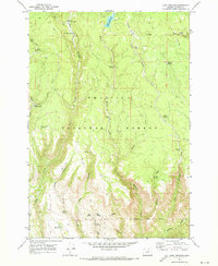
1969 · Lake Penland
USGS Topo · 1:24,000
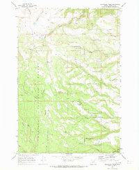
1969 · Sugarbowl Creek
USGS Topo · 1:24,000
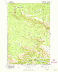
1969 · Deerhorn Creek
USGS Topo · 1:24,000